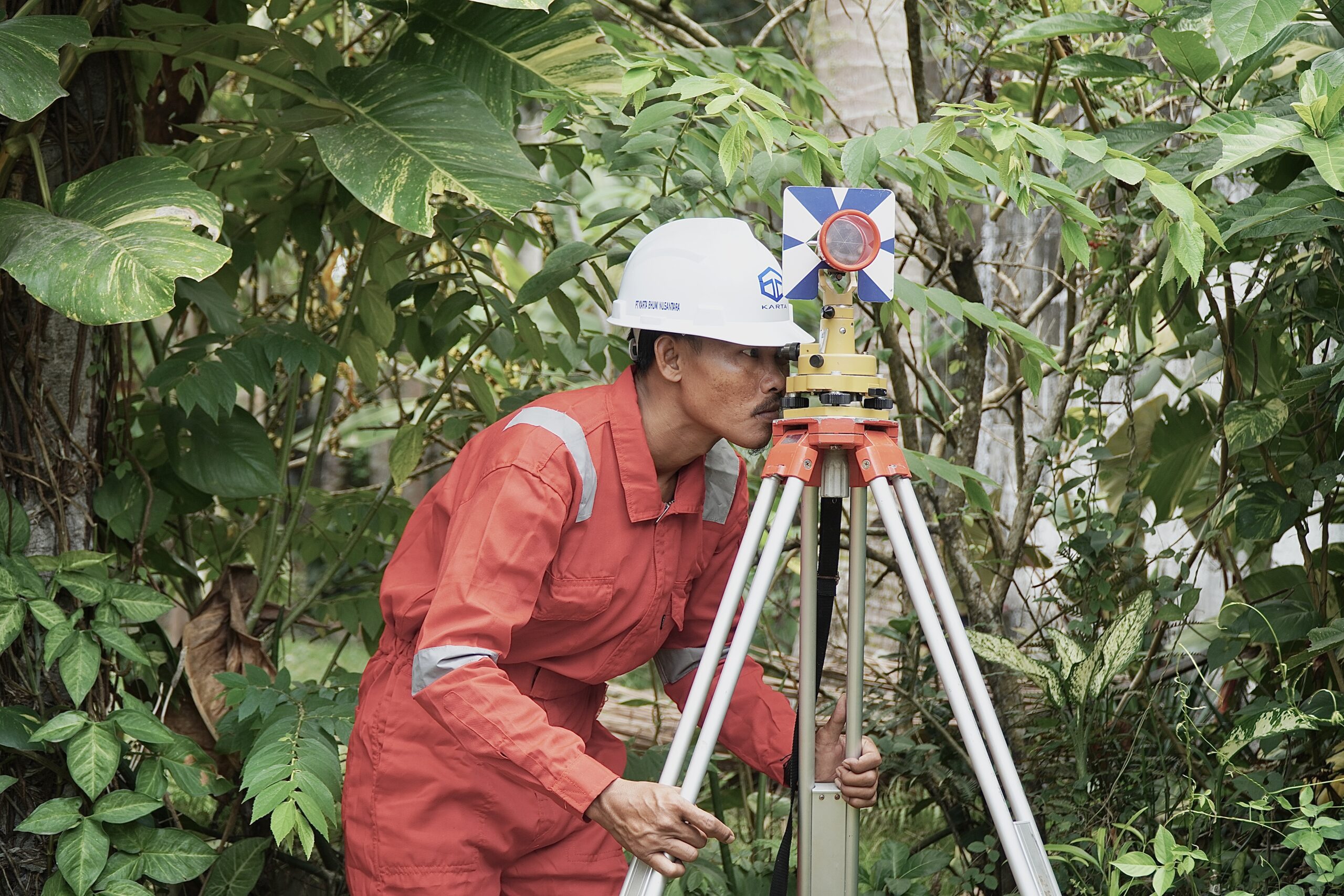
Project Overview
Geospatial Information Systems (GIS) and geospatial analysis are needed in various fields. Some of its applications are for mapping and visualization of an area, disaster management, transportation and logistics, city management, environmental monitoring, and etc.
Project Planning
Dedicated Team & Plan With a long and given to environment slightly design planning.
Satisfied Service
Dedicated Team & Plan With a long and given to environment slightly design planning.
Dedicated Team
Dedicated Team & Plan With a long and given to environment slightly design planning.
Benefits of Service
There are many variations of passages of Lorem Ipsum available, but the majority have suffered alteration.
There are many variations of passages of Lorem Ipsum available, but the majority have suffered alteration.
There are many variations of passages of Lorem Ipsum available, but the majority have suffered alteration.
There are many variations of passages of Lorem Ipsum available, but the majority have suffered alteration.
How It Works?


