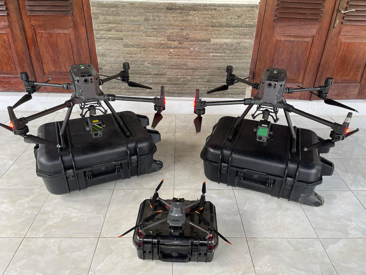
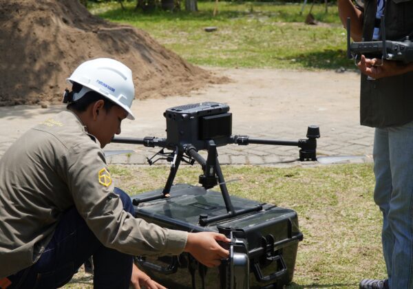
UAV Drone Mapping
PT Karta Bhumi Nusantara provides rental and sales services for UAV Drone Mapping equipment to support aerial technology-based survey, mapping, and monitoring activities. This service is intended for government agencies, private companies, and academics who need fast, accurate, and efficient spatial data collection solutions.
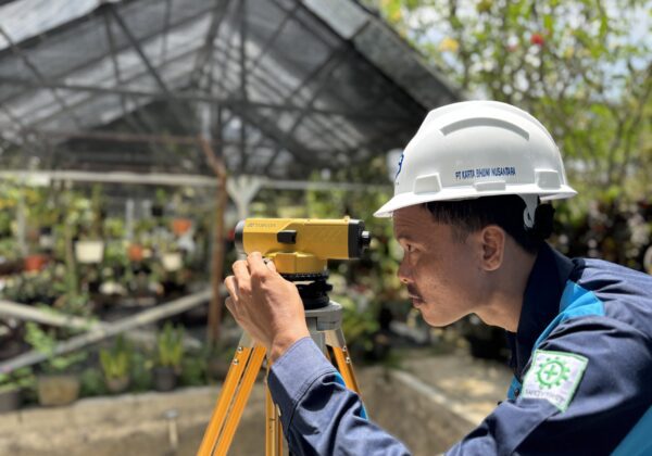
Waterpass
PT Karta Bhumi Nusantara provides rental and sales services for waterpass or automatic level equipment to support various leveling survey activities, elevation measurements, and construction work that require high accuracy in measuring height differences between points.
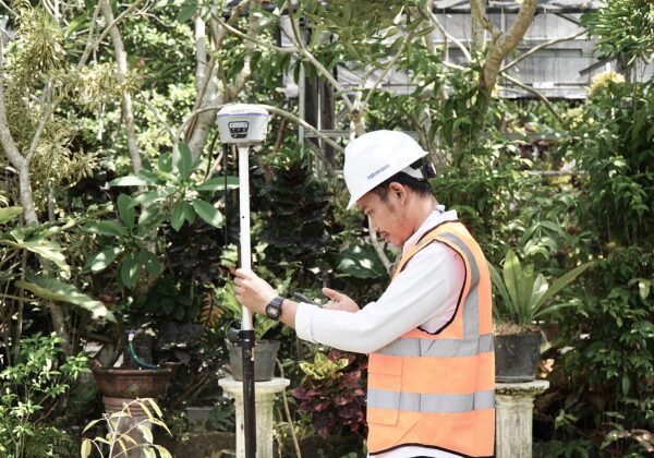
GNSS
PT Karta Bhumi Nusantara provides rental and sales of geodetic GNSS equipment to support various surveying and mapping needs requiring high accuracy. Our GNSS equipment can generate positional data down to the centimeter level, making it suitable for construction, infrastructure, topography, boundary, and spatial mapping projects.
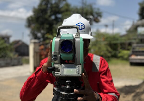
Total Station
PT Karta Bhumi Nusantara provides Total Station rental and sales services to support various surveying and construction activities requiring high-precision position, distance, and angle measurements. This service is ideal for infrastructure projects, land mapping, boundary determination, and cut and fill volume measurements.