Our Services
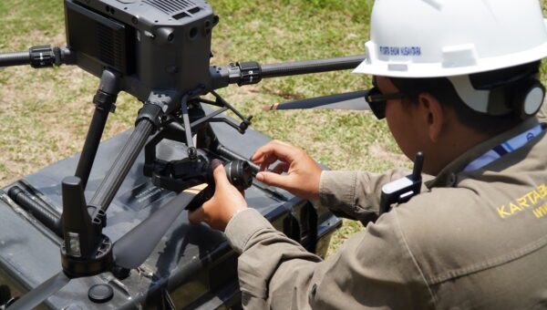
Survey and Mapping Services
Providing survey and mapping services such as making topographic maps, aerial photography maps, bathymetric maps and ongoing survey services using the latest methods and technologies.
Read More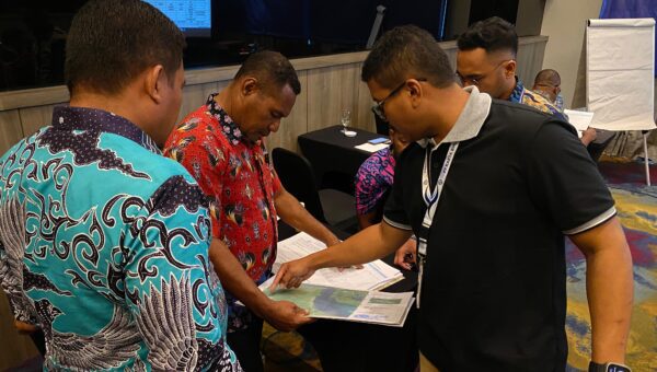
Spatial Planning and GIS Services
Providing integrated Spatial Planning and Geographic Information System (GIS) services to support spatial planning, management, and decision-making processes. Presenting spatial data accurately, informatively, & interactively.
Read More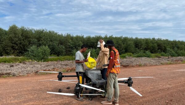
Agricultural Survey Services
Survey services for preparing for opening and managing agricultural land using precision technology, as well as agricultural drone services to spray solid fertilizer (spreading) and pesticides (spraying) evenly and efficiently.
Read More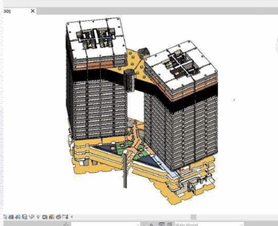
BIM and VDC Services
Providing Building Information Modeling (BIM) and Virtual Design and Construction (VDC) services. These services improve multidisciplinary coordination, reduce the risk of errors, and accelerate the decision-making process.
Read More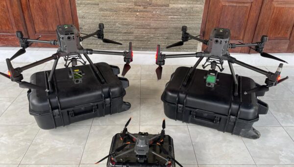
Equipment Sales and Rental
Providing sales and rental services for survey equipment with the best quality and competitive prices to support field work needs efficiently and accurately.
Read More