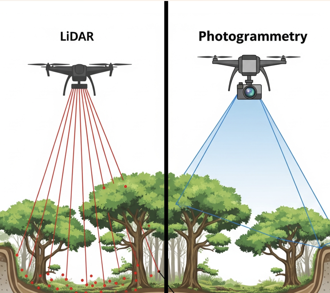
When it comes to surveying and mapping, LiDAR and photogrammetry are often compared. Both technologies produce accurate 3D maps data, point clouds, and digital terrain models, but they work in very different ways.
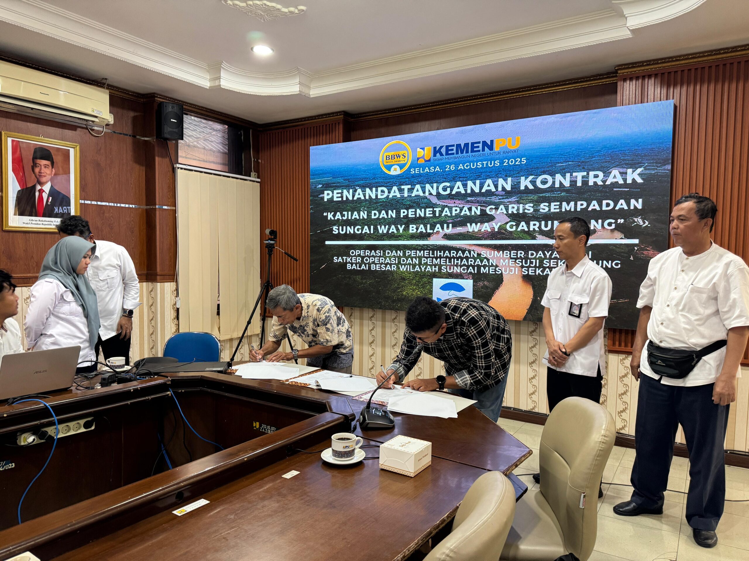
Signing of the cooperation contract
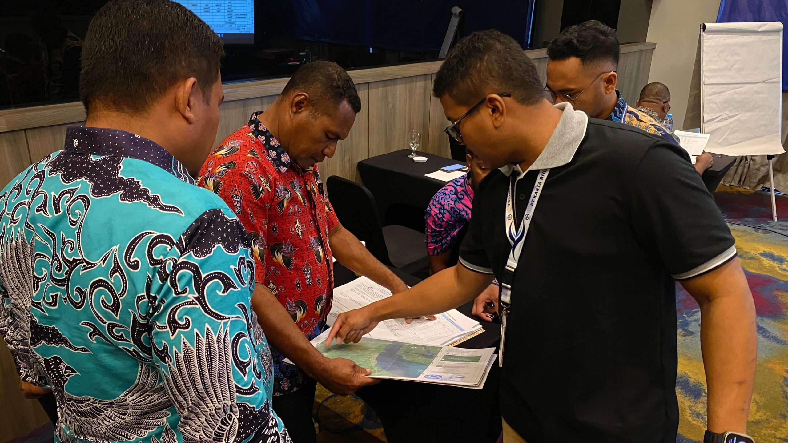
Tuesday, August 26th 2025, the official signing of the contract for the study and delimitation of the Way Balau and Way Garuntang Rivers took place. This activity was organized by the Mesuji Sekampung River Basin Center (BBWS Mesuji Sekampung), Ministry of Public Works and Public Housing (PUPR). This activity is a strategic step in preserving the river’s function while supporting more sustainable regional spatial planning.
Accuracy and Precision
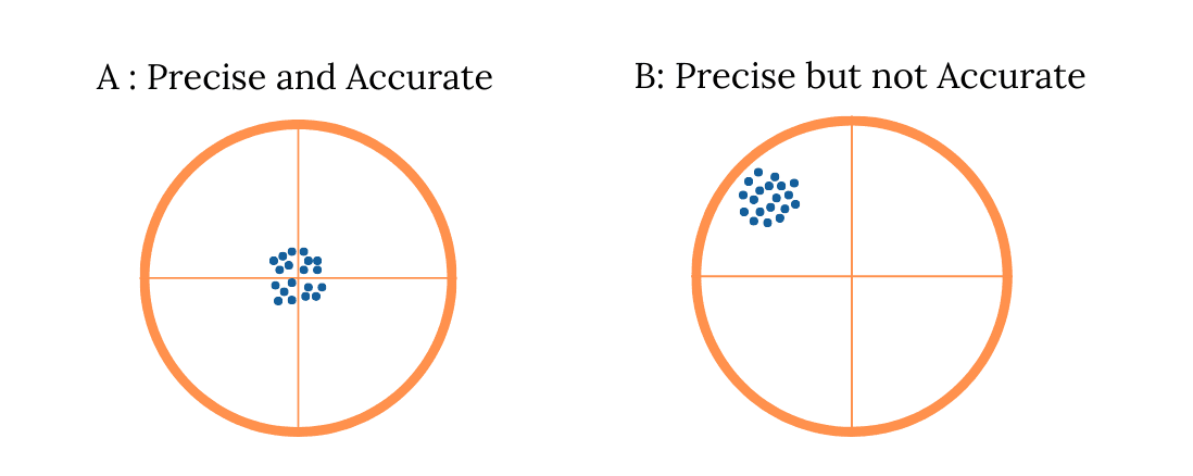
Precision and accuracy are two important concepts in measurement and mapping. Precision refers to the consistency of repeated measurement results, while accuracy indicates how close the results are to the true value. A measurement can be very precise, but it is not necessarily accurate if the resulting value is far from the true value. In the context of surveying and mapping, a combination of high precision and good accuracy is crucial for producing reliable data that can be used in planning and decision-making.
Building Information Modeling (BIM)
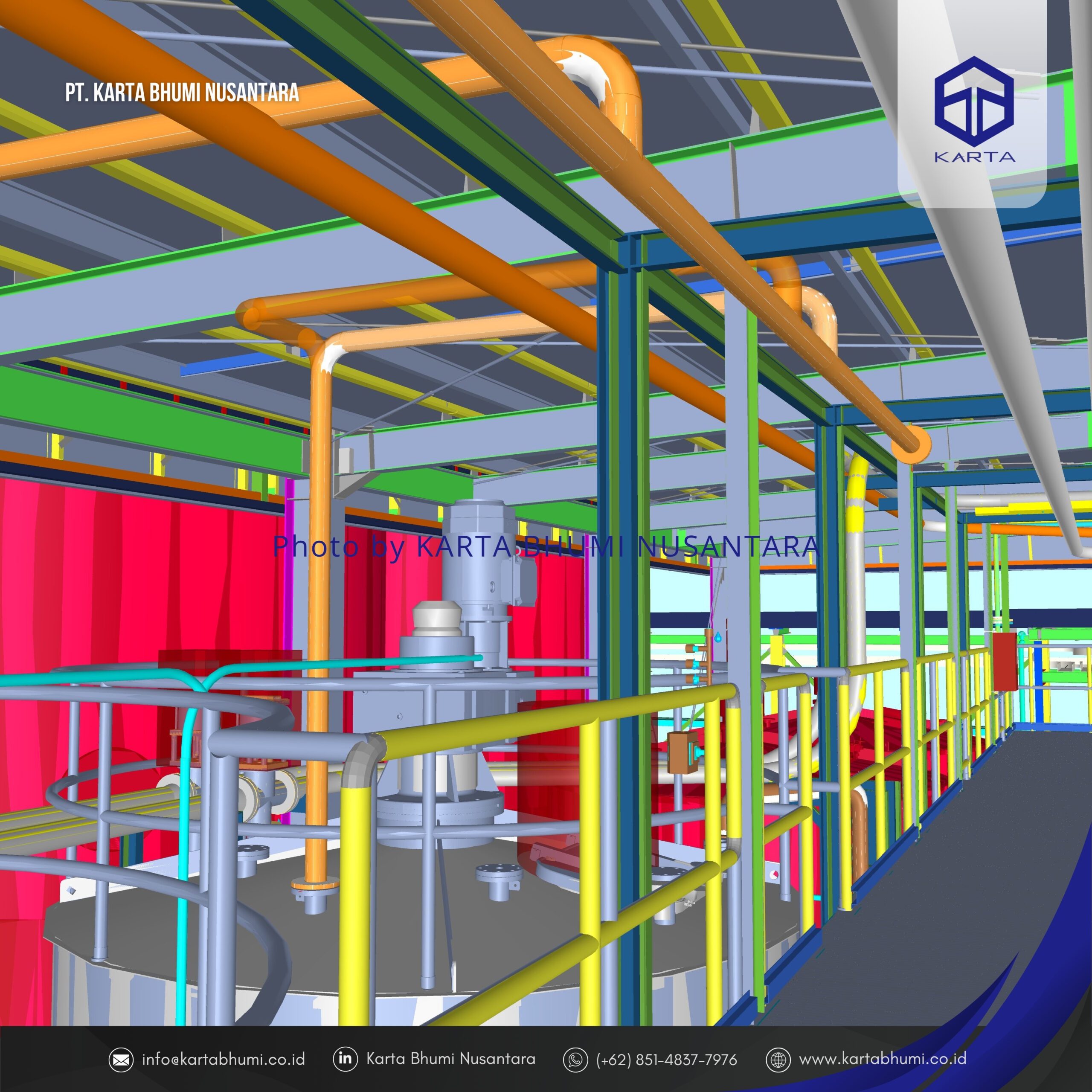
Building Information Modeling (BIM) is a technology-based process used to create and manage digital representations of the physical and functional characteristics of a building or infrastructure. BIM is more than just software, but rather an integrated methodology that enables cross-disciplinary collaboration between architects, engineers, contractors, and project owners within a single, integrated digital model.
Precision Navigation on Drone Mapping
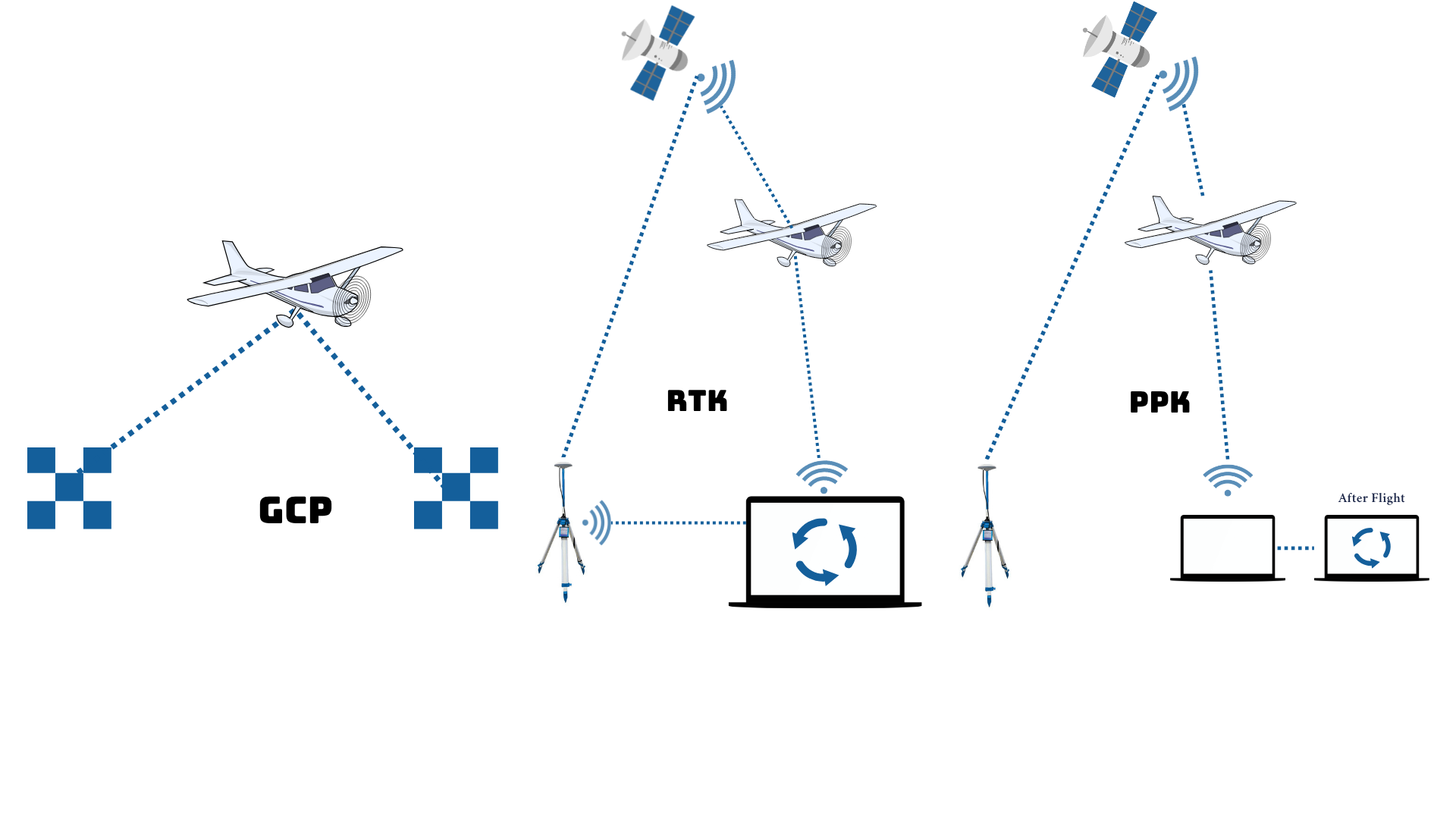
Precision Navigation on Drone Mapping is a high-precision navigation technology used to ensure drones fly accurately on planned paths and positions. With the support of GNSS RTK/PPK systems and other navigation sensors, drones can record the position of each aerial image with centimeter accuracy. This technology is crucial in professional mapping because it produces precise data with minimal distortion, allowing output such as orthophotos, contour maps, and digital elevation models to be directly used for technical needs such as infrastructure planning, engineering design, or spatial analysis. Precision navigation ensures drone mapping is not only fast and efficient, but also highly accurate.
The Importance of Determining Territorial Boundaries for Sustainable Development
In an effort to realize equitable and sustainable development, the determination and confirmation of territorial boundaries is a primary foundation that cannot be ignored. Clear and verified territorial boundaries not only determine the administrative authority of a region, but also form the basis for planning, resource management, and effective public services.
Efektivitas Penggunaan Drone Pertanian DJI AGRAS untuk Perkebunan dan Pertanian
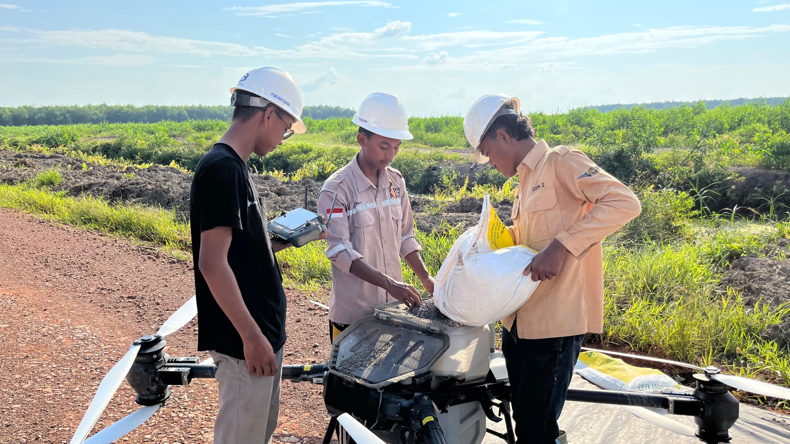
Kemajuan teknologi pertanian di Indonesia semakin pesat, salah satunya ditandai dengan hadirnya drone pertanian DJI AGRAS yang mampu merevolusi cara penyemprotan dan pemupukan di lahan skala besar. Drone ini menjadi solusi modern dalam menjawab tantangan efisiensi tenaga kerja, waktu, dan kualitas distribusi input pertanian, terutama di tengah menurunnya minat tenaga kerja muda untuk terjun langsung ke lapangan.
Survei Pemetaan untuk Analisis Risiko Bencana Alam
Survei pemetaan memainkan peran kunci dalam mitigasi dan manajemen risiko bencana alam. Melalui pemetaan topografi, geologi, hidrologi, dan penggunaan lahan, informasi spasial yang akurat dapat diperoleh untuk mengidentifikasi wilayah rawan bencana seperti banjir, longsor, gempa bumi, dan tsunami. Data hasil survei ini digunakan untuk menyusun peta risiko, merancang sistem peringatan dini, serta mendukung perencanaan tata ruang dan pembangunan infrastruktur yang tahan terhadap bencana. Dengan pemanfaatan teknologi UAV (drone), LiDAR, dan citra satelit, proses survei kini menjadi lebih cepat, efisien, dan presisi tinggi, sehingga sangat penting dalam upaya perlindungan masyarakat dan pengambilan kebijakan berbasis data.
Pentingnya Ground Control Point (GCP) dalam Pemetaan UAV
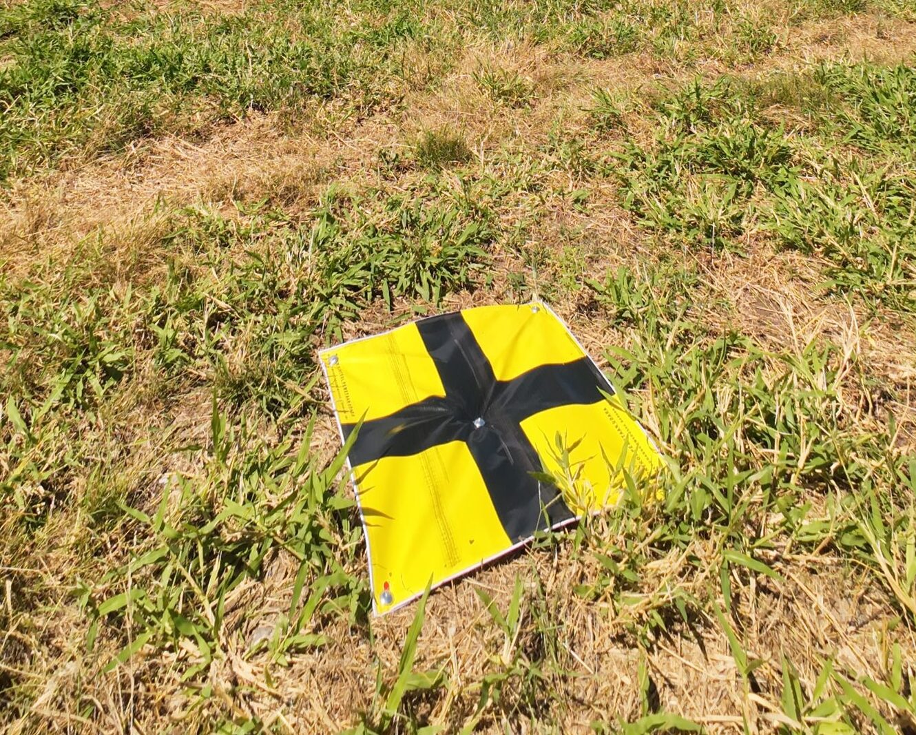
Dalam era transformasi digital saat ini, teknologi pesawat nirawak (UAV) atau drone telah merevolusi cara kita memetakan permukaan bumi. UAV mempermudah akuisisi data spasial secara cepat, detail, dan efisien. Namun, agar data yang dihasilkan benar-benar akurat dan dapat diandalkan, penggunaan Ground Control Point (GCP) menjadi aspek yang sangat penting dalam setiap proyek pemetaan UAV.
Pemanfaatan LiDAR untuk Menghitung Jumlah Pohon
PT. Karta Bhumi Nusantara sebagai perusahaan yang berkomitmen pada inovasi dalam pemetaan dan analisis vegetasi, kami menggunakan metode perhitungan jumlah pohon dengan data LiDAR. Metode ini merupakan bagian penting dari proyek kami dalam mendukung analisis vegetasi dan perencanaan kehutanan secara efektif dan efisien.

