Archives: Services

Survey and Mapping Services
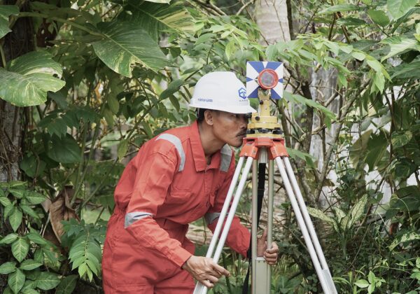
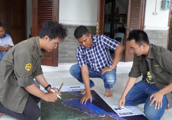
Providing survey and mapping services such as making topographic maps, aerial photography maps, bathymetric maps and sustainable survey services using the latest methods and technologies.

Topographic Survey

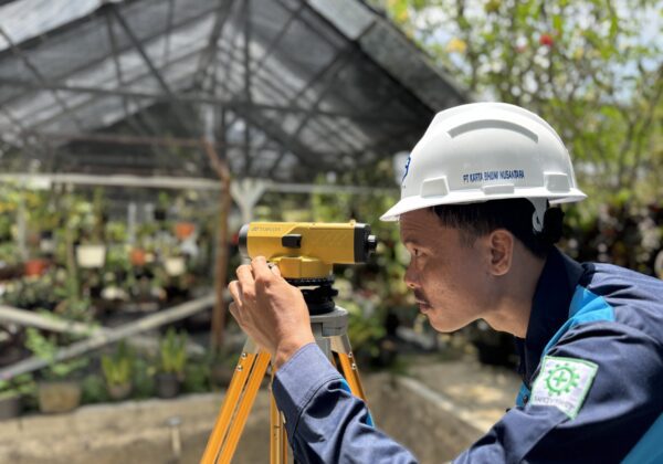
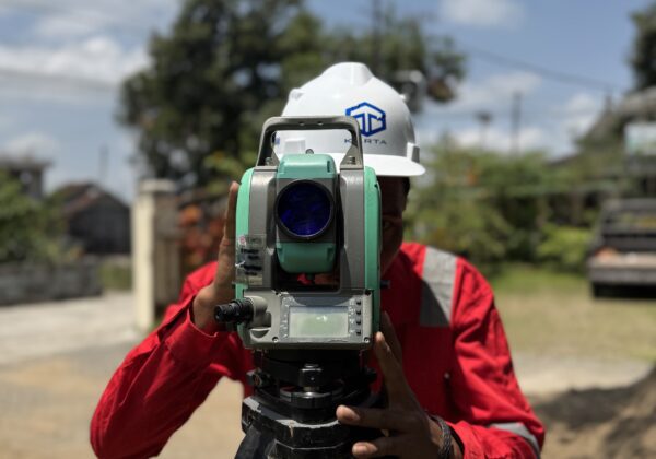
Providing accurate elevation and land contour data as a basis for planning and technical design of various construction, infrastructure, agriculture, and mining projects. Using a Total Station tool that is capable of producing topographic maps with high accuracy according to the required technical standards.
GNSS Survey

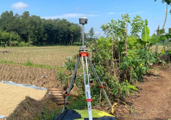
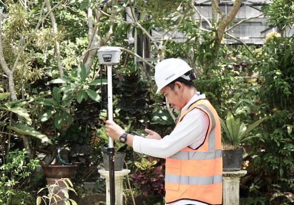
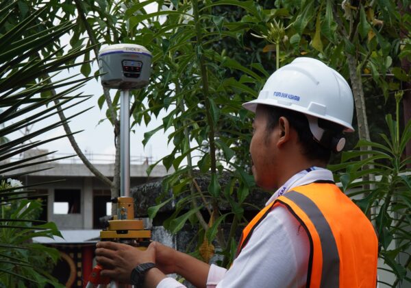
We provide reliable and accurate GNSS survey services for various mapping, construction, deformation monitoring, and boundary determination needs. Our GNSS survey services include mapping control point positioning, monitoring point positioning, and object positioning.
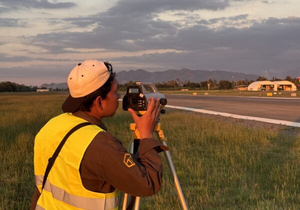
Levelling Survey

Determination of the orthometric elevation position of a control point or monitoring point. Leveling surveys are used to obtain information about the difference in elevation between various points in an area. The leveling process involves the use of tools such as a waterpass that can measure elevation with a high degree of precision.
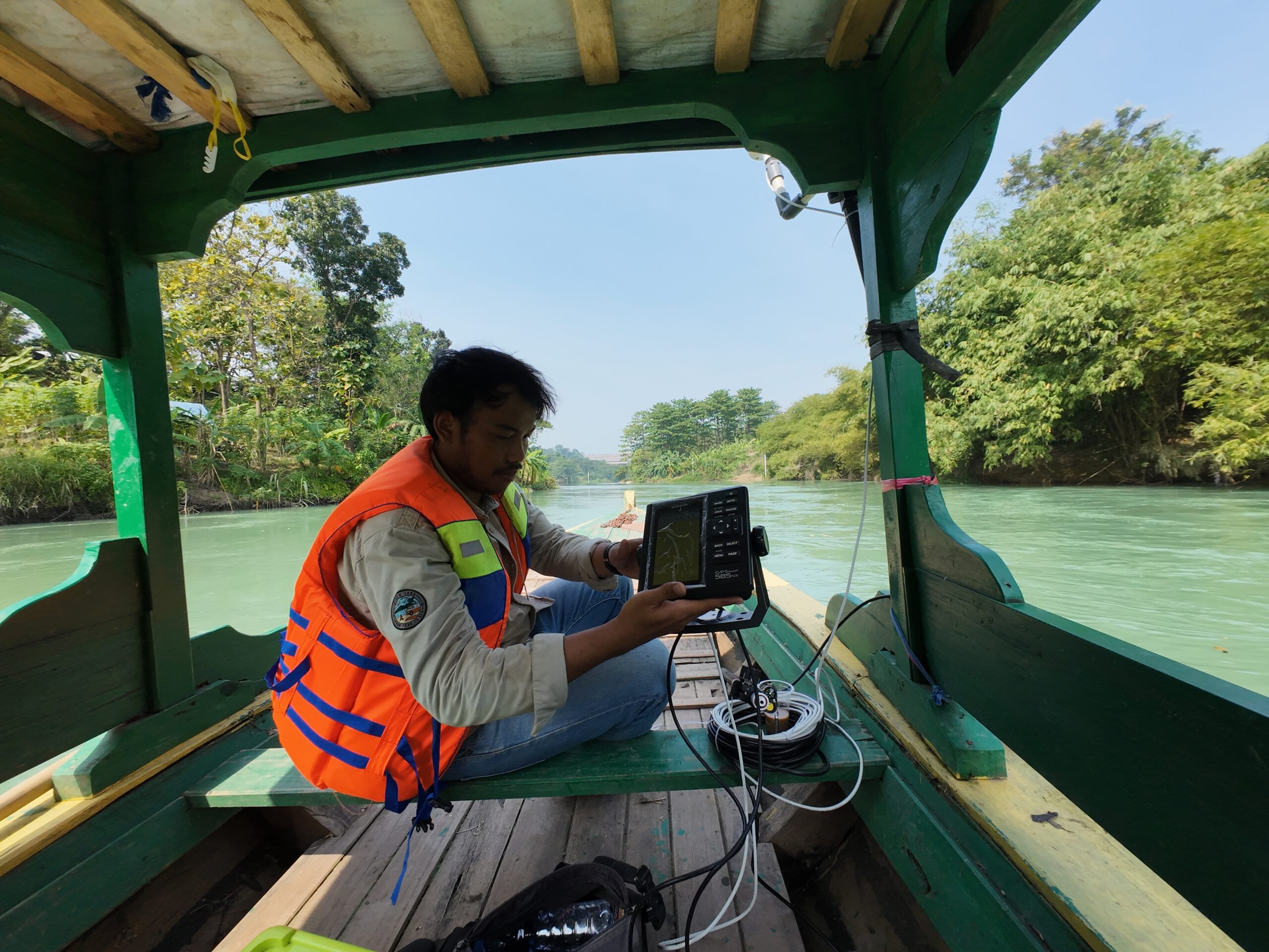
Bathymetric Survey

Determination of depth and mapping of the water floor to produce geospatial information on the water floor so that this information can be used for various purposes such as navigation, water resource management, environmental monitoring, and coastal area development planning.
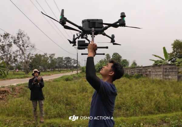
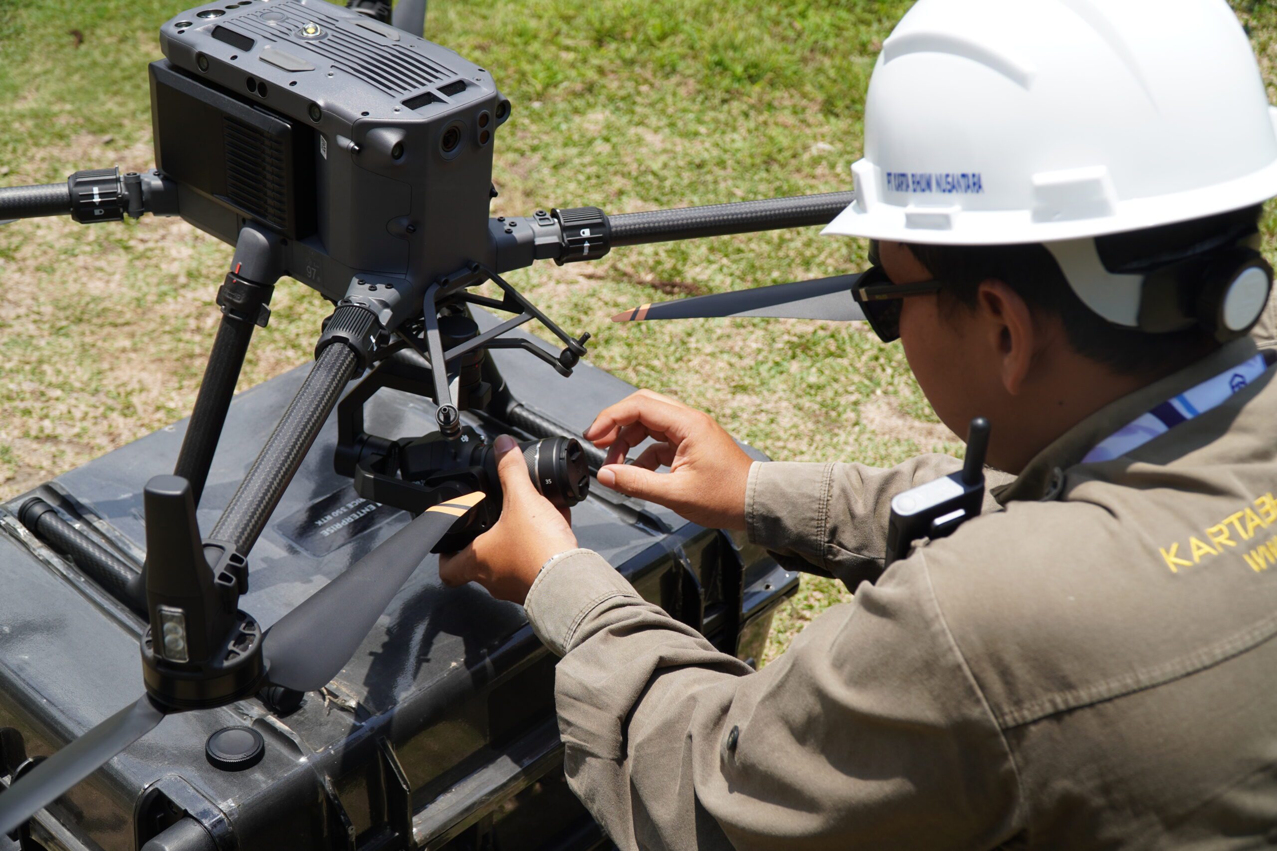
UAV LiDAR Survey and Photogrammetry

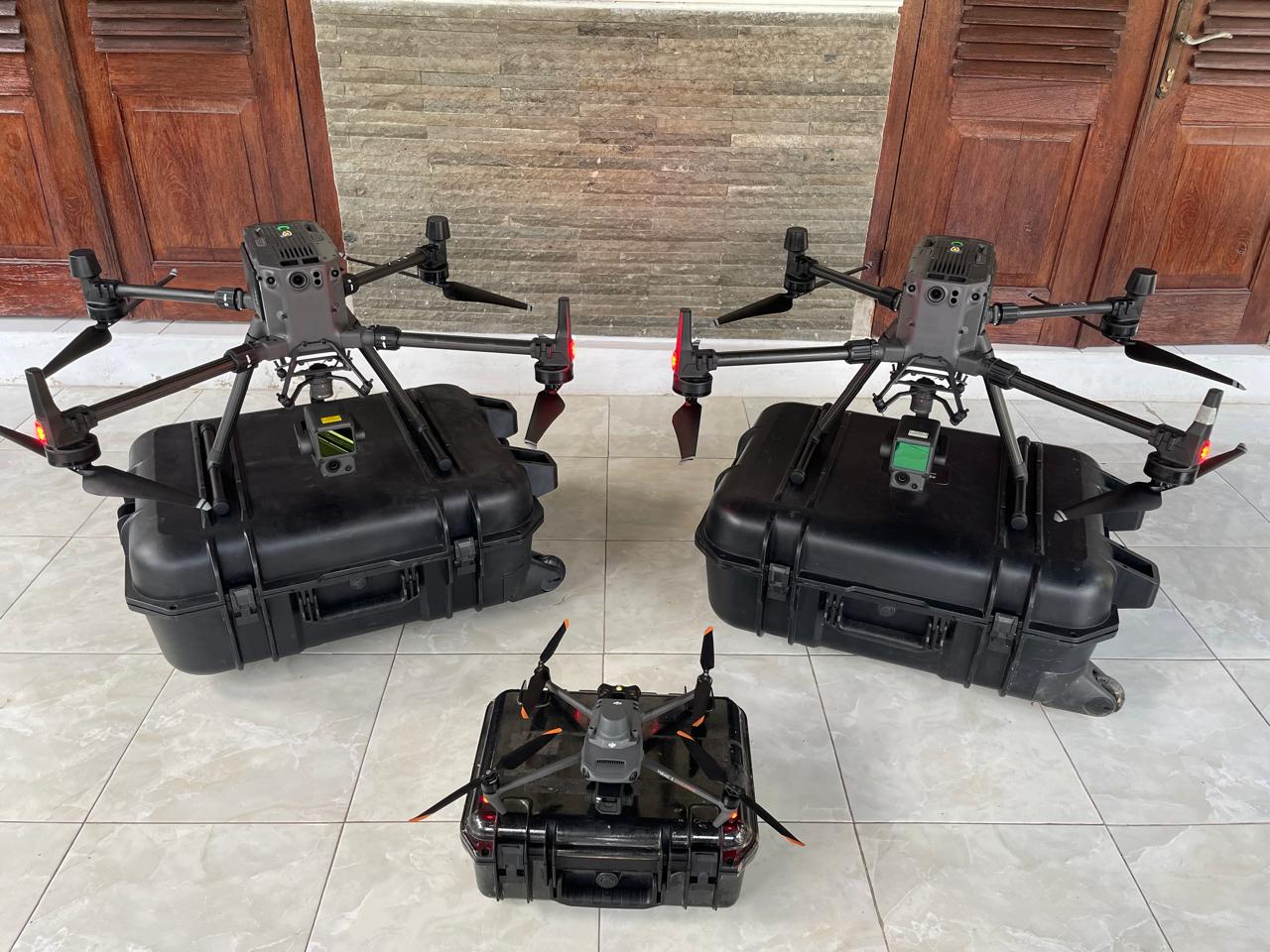
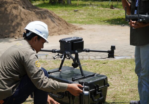
Using high-quality drones and sensors. Capable of achieving high levels of detail, convenience in mapping hard-to-access areas, and time and cost efficiency. Becoming a solution in various applications such as industrial mapping, precision agriculture, natural resource management, and infrastructure monitoring.

Spatial Planning and GIS Services

This service provides comprehensive solutions in spatial planning based on spatial data to support sustainable development, regional management, and location-based decision making. By utilizing GIS (Geographic Information System) technology, we assist governments, private companies, and regional management institutions in preparing integrated, participatory, and regulatory-compliant plans.

Preparation of RDTR (Detailed Spatial Planning)

We provide planning services for the preparation of RDTR (Detailed Spatial Plan) as a technical reference for planning and utilization of space at the district/city or strategic area level. This service includes data collection and inventory, analysis of regional conditions, delineation and determination of zones, preparation of digital RDTR maps, technical documents, cross-sector coordination to legalization and determination assistance.

Determination and Confirmation of Territorial Boundaries (PPBW)

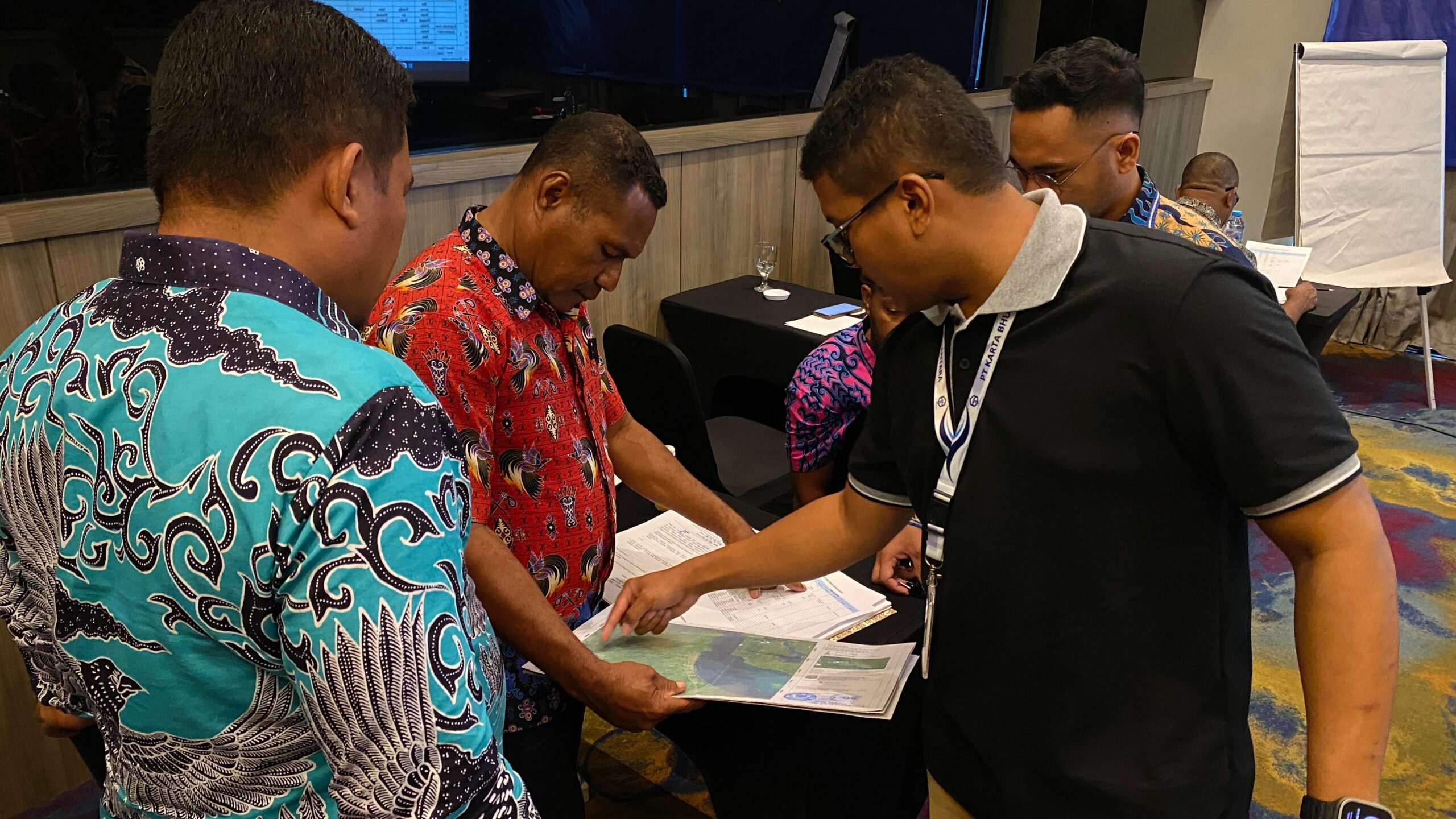
We provide survey and mapping services to support the activities of Determination and Confirmation of Regional Boundaries (PPBW) between villages, sub-districts, to regencies/cities. Services include collecting legal and historical data, surveying boundary coordinates, making boundary maps, installing boundary markers (stakes), to compiling minutes. All activities are carried out in accordance with technical guidelines and regulations from BIG (Geospatial Information Agency).

Survey and Mapping Services

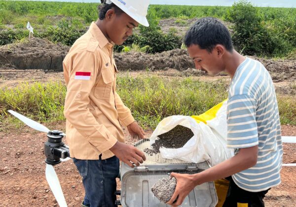
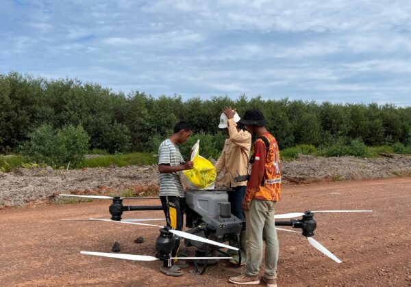
Survey services for preparing for opening and managing agricultural land using precision technology, as well as agricultural drone services to spray solid fertilizer (spreading) and pesticides (spraying) evenly and efficiently.

Drone Spraying

Our Drone Spraying service offers a modern and efficient solution for agricultural spraying activities, whether for herbicides, pesticides, fungicides, or liquid fertilizers. By using high-tech agricultural drones, spraying is carried out precisely, evenly, and quickly, thus increasing productivity while reducing operational costs.

Drone Spreading

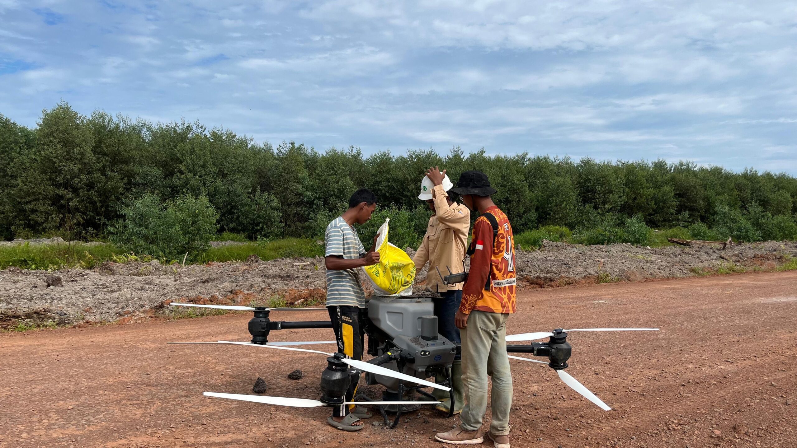
Our Drone Spreading service provides a smart and efficient solution for spreading granular fertilizers, lime, seeds and other materials directly on agricultural or forestry land. With a large carrying capacity and an automated distribution system, drone spreading is capable of spreading materials up to tens of hectares per day.

Agricultural Land Preparation Survey

Our Agricultural Land Preparation Survey Service is designed to help landowners, farmer groups, investors, and educational institutions understand the potential of the land thoroughly before cultivation activities begin. This survey integrates scientific approaches and geospatial technology to produce accurate data as a basis for sustainable agricultural planning.

BIM and VDC Services

Providing Building Information Modeling (BIM) and Virtual Design and Construction (VDC) services. These services improve multidisciplinary coordination, reduce the risk of errors, and accelerate the decision-making process.

Our VDC (Virtual Design and Construction) service utilizes digital technology to virtually plan, manage, and coordinate the entire construction process before construction begins. Our VDC services include 3D laser scanning, VR & AR, and Digital Twin.

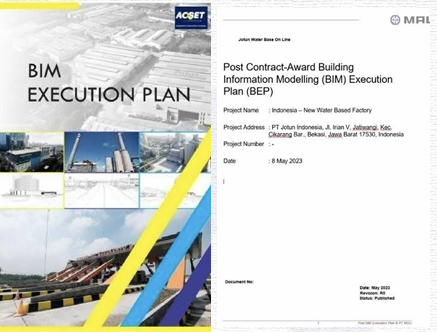
BEP (BIM Execution Plan)

Our BIM Execution Plan (BEP) service is designed to ensure optimal BIM implementation from the early stages of a project. A BEP is a strategic document containing standards, procedures, roles, and collaborative workflows between stakeholders in a BIM-based project.

3D Modeling & Coordination

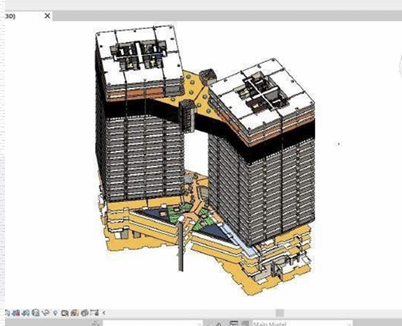
BIM 3D Modeling and Coordination services to build accurate and integrated 3D digital models of all project elements, including architecture, structure, and MEP. This service facilitates coordination between teams, and increases efficiency from the planning stage to construction.

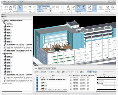
4D Time Schedule

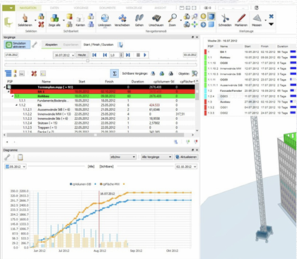
BIM 4D Time Schedule and QTO (Quantity Take-Off) services integrate 3D models with project schedules to visualize construction stages in real time, calculate material quantity volumes and automatically, accurately & efficiently as a basis for cost planning and procurement.

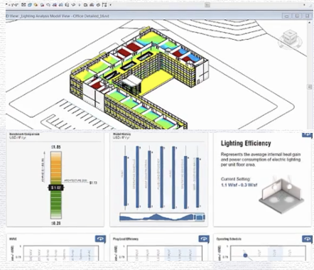
6D Sustainable Energy

BIM 6D Sustainability & Energy services focus on analyzing energy efficiency and building sustainability from the planning stage. With BIM models, we simulate energy consumption, natural lighting, ventilation, and environmental impacts to support the creation of designs that meet green building standards.

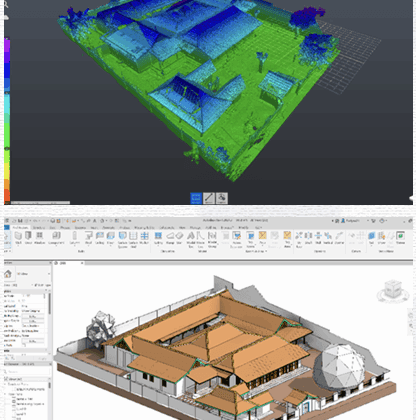
3D Laser Scan

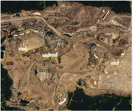
The 3D Laser Scan service provides high-precision scanning using laser technology to capture the existing condition of a building or area in detail. The resulting point cloud data is processed into a 3D model (as-built model), which supports efficient and precise documentation and integration into a Building Information Modeling (BIM) system.

Digital Twin

This service is a technology solution that continuously connects digital models of buildings or infrastructure with real-world data, enabling real-time condition, performance, and operational monitoring of assets to support data-driven decision-making.

2D Working Drawing

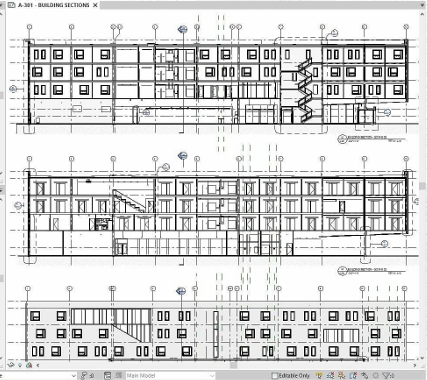
2D Shop Drawing is an important document that bridges planning and implementation. Our 2D Shop Drawing BIM service delivers detailed working drawings generated directly from the BIM model, ensuring consistent, high, and efficient information accuracy in construction implementation in the field.

Clash Detection

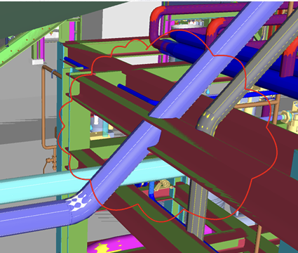
Our BIM Clash Detection service helps to digitally detect and analyze collisions between design elements (architecture, structure, MEP) before construction begins. This clash detection process can reduce the risk of errors in the field, save time, and reduce rework costs in the project.

5D Cost Management

BIM 5D Cost Management service integrates BIM models with project cost estimation dynamically. Any changes in the design budget automatically update the cost calculation, allowing real-time monitoring, more precise cost control, and fast & accurate decision making.

7D Asset Management

This 7D Asset Management service supports the process of managing 20 operational and post-construction building maintenance. The BIM model stores detailed information on each building component such as material specifications and repair history to help more efficient, structured and data-driven asset management.

VR & AR Services

BIM-based VR (Virtual Reality) and AR (Augmented Reality) services provide an immersive experience for virtually viewing and understanding projects before they are built. This technology allows clients to explore buildings in real-scale (VR) or view design elements directly in a real-world environment through digital devices.

UAV Drone Mapping

PT Karta Bhumi Nusantara provides rental and sales services for UAV Drone Mapping equipment to support aerial technology-based survey, mapping, and monitoring activities. This service is intended for government agencies, private companies, and academics who need fast, accurate, and efficient spatial data collection solutions.

Waterpass

PT Karta Bhumi Nusantara provides rental and sales services for waterpass or automatic level equipment to support various leveling survey activities, elevation measurements, and construction work that require high accuracy in measuring height differences between points.

GNSS

PT Karta Bhumi Nusantara provides rental and sales of geodetic GNSS equipment to support various surveying and mapping needs requiring high accuracy. Our GNSS equipment can generate positional data down to the centimeter level, making it suitable for construction, infrastructure, topography, boundary, and spatial mapping projects.

Total Station

PT Karta Bhumi Nusantara provides Total Station rental and sales services to support various surveying and construction activities requiring high-precision position, distance, and angle measurements. This service is ideal for infrastructure projects, land mapping, boundary determination, and cut and fill volume measurements.