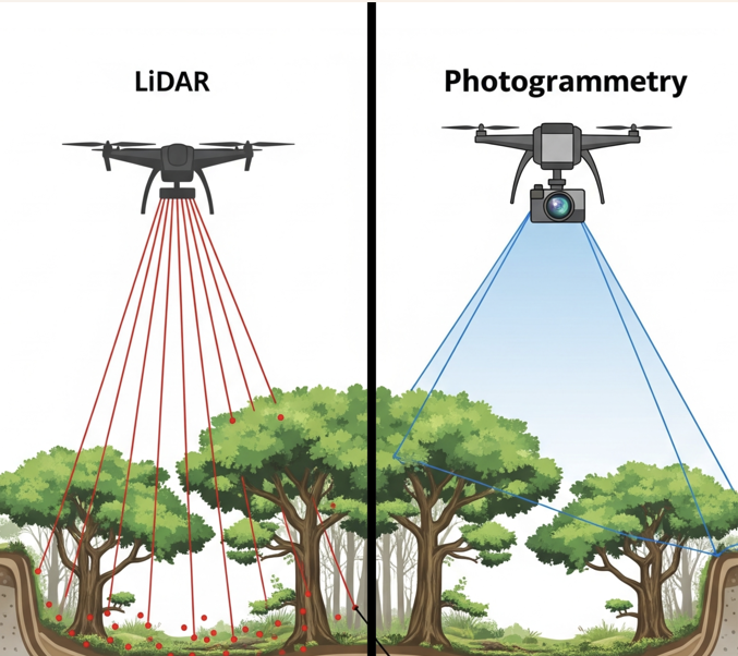
Dalam dunia survei dan pemetaan, LiDAR dan fotogrametri sering kali dibandingkan. Kedua teknologi ini sama-sama mampu menghasilkan data peta 3D yang akurat, point cloud, dan model terrain digital, namun keduanya bekerja dengan cara yang sangat berbeda.
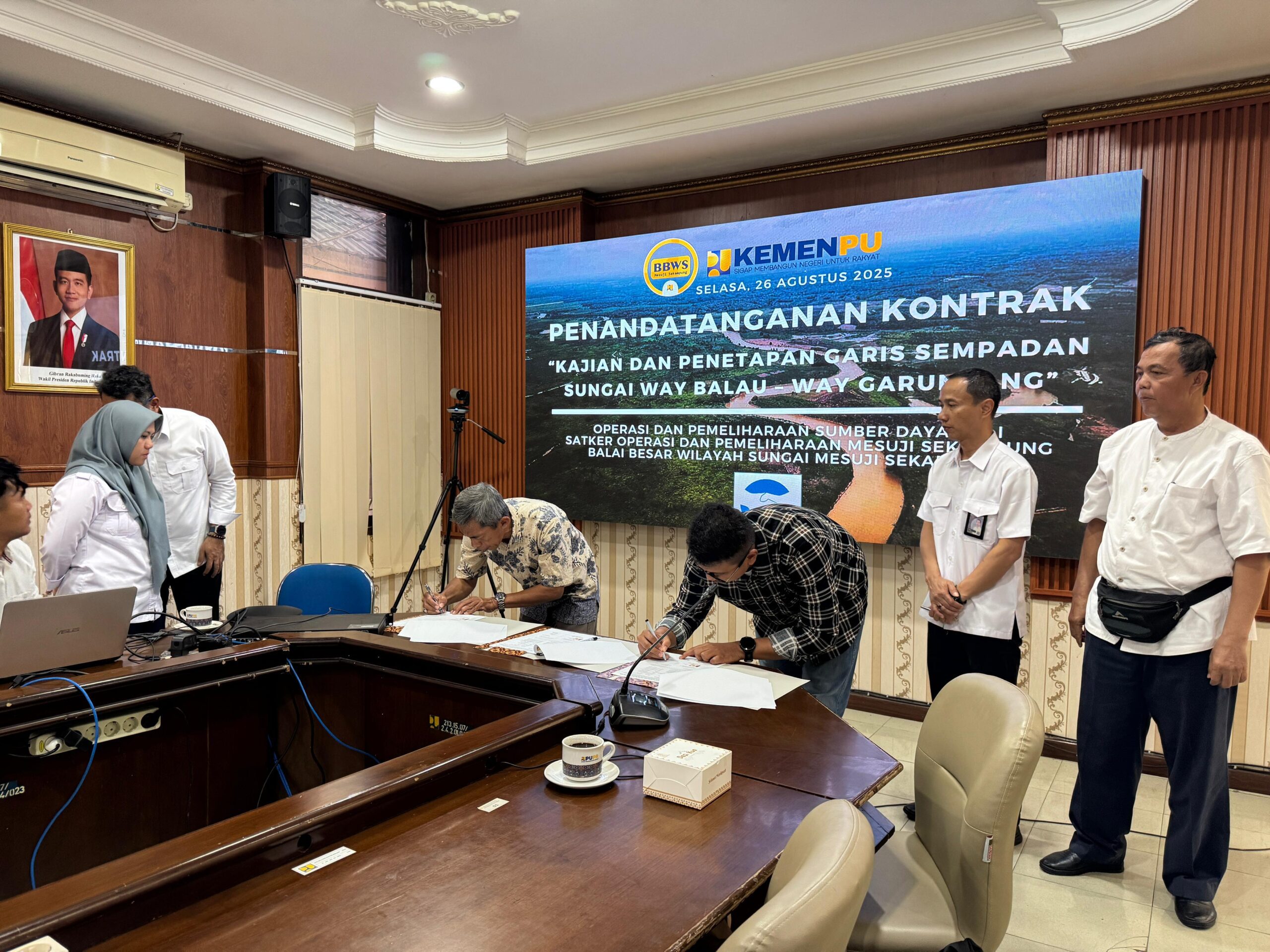
Penandatanganan Kontrak Kerja Sama Survei Kajian Sempadan Sungai
Pada Selasa, 26 Agustus 2025, telah dilaksanakan penandatanganan kontrak kerja sama untuk kegiatan kajian dan delimitasi Sungai Way Balau dan Way Garuntang. Kegiatan ini diselenggarakan oleh Balai Besar Wilayah Sungai (BBWS) Mesuji Sekampung, Kementerian Pekerjaan Umum dan Perumahan Rakyat (PUPR).
Kegiatan ini merupakan langkah strategis dalam menjaga fungsi sungai sekaligus mendukung perencanaan tata ruang wilayah yang lebih berkelanjutan.