Archives: Team

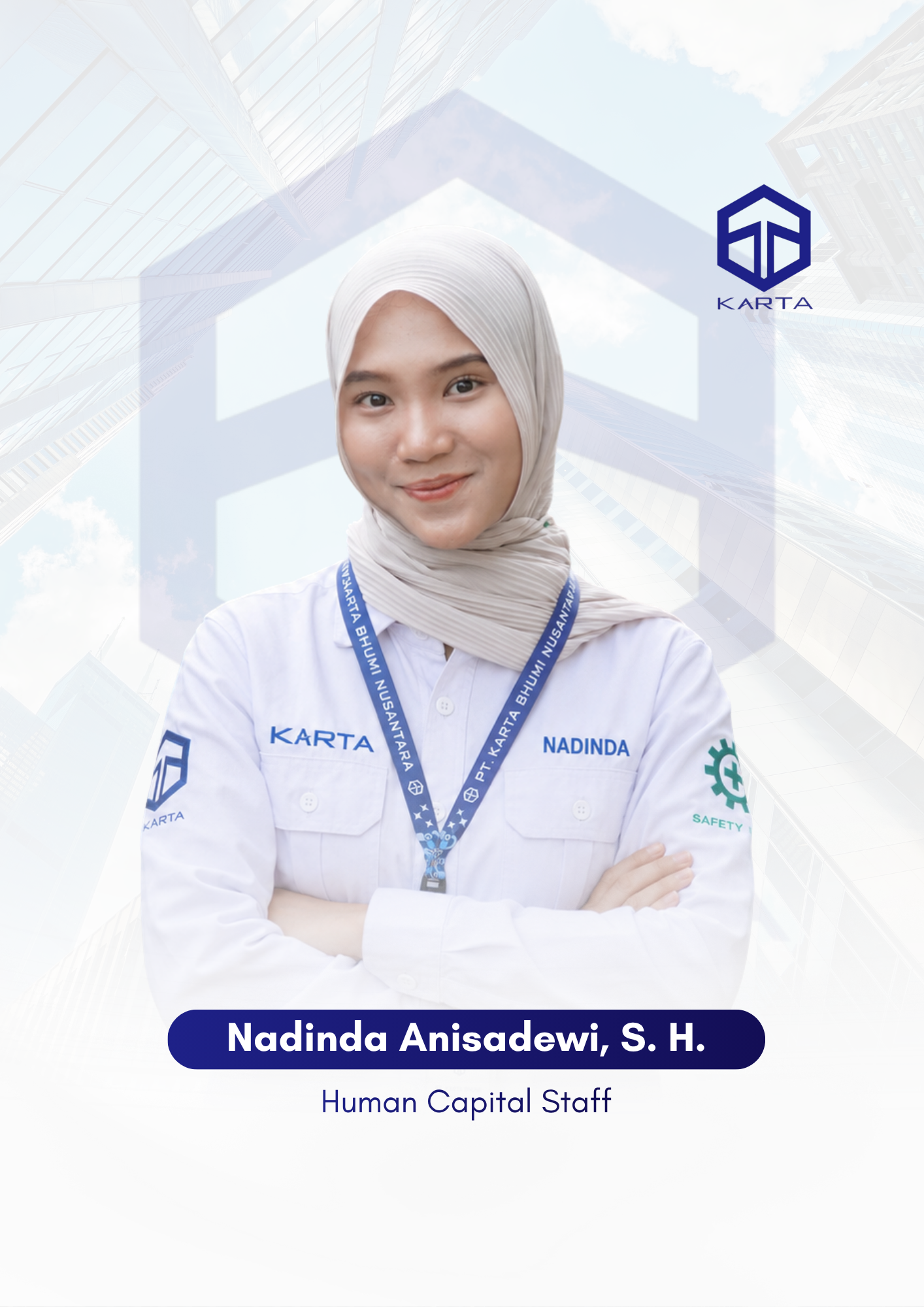
Nadinda Anisadewi, S. H.

Human Capital professionals focused on managing and developing people to support the company’s growth. Their expertise covers recruitment, employee administration, performance management, competency development, and organizational planning, ensuring that Karta Bhumi Nusantara is supported by competent, productive, and continuously developing professionals.
Personal Information

Nadinda Anisadewi, S. H. is a Human Capital Staff member at PT Karta Bhumi Nusantara. She is a dedicated professional responsible for supporting various human resource functions within the company. Her responsibilities include recruitment and selection, employee administration, performance management, competency development, and supporting organizational activities. Through her role, she contributes to ensuring effective people management, employee development, and the implementation of Human Capital processes that support the company’s operational and strategic objectives.

Skill:

Recruitment & Selection 90%
Employee Administration 75%
HR Compliance & Employee Relations 80%

Education & Qualification

Education

Bachelor of Laws degree from Gadjah Mada University.

Career Start

After completing her studies, she began her career as a Human Capital Staff member at PT Karta Bhumi Nusantara, a company specializing in surveying and mapping services.

Experience

1 year of experience in the field of Human Capital and human resource management.

Expert

Human Capital Management, Recruitment, Employee Administration.

Contact me

The first mate and his Skipper too will do their very best to make the others comfortable in their tropic island nest Got a dream and we just know now we’re gonna make our dream come true.

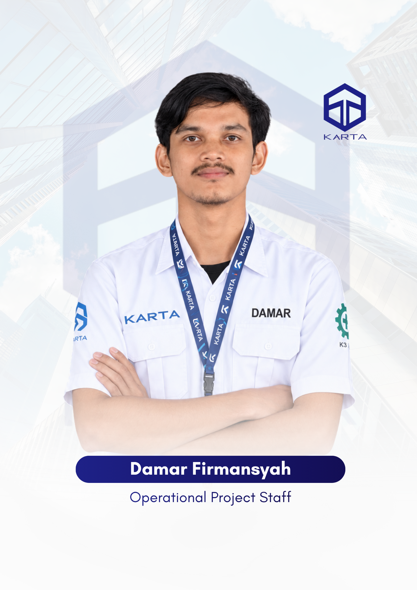
    Damar Firmansyah

    Professionals who are experts in surveying and mapping using UAV, LiDAR, and GIS technologies. With extensive backgrounds and experience in large-scale topographic projects, both domestically and internationally, they are proficient in modern mapping techniques—ranging from aerial, marine, and terrestrial data collection to advanced spatial processing and visualization.

    Personal Information

    Damar Firmansyah, is an Operational Project Staff member at PT Karta Bhumi Nusantara. He is a dedicated professional with two years of experience in the field of surveying and mapping. After completing his studies,He began her career as a staff member at PT Karta Bhumi Nusantara, a company specializing in surveying and mapping services. He has completed various projects, including mapping projects using UAV Lidar, bathymetry, and elevation monitoring.

    Skill:

    Industrial 90%
    Construction 75%
    Commercial 80%

    Education & Qualification

    Education

    SMK N 2 Yogyakarta

    Career Start

    After completing he studies, He began his career as a staff member at PT Karta Bhumi Nusantara, a company specializing in surveying and mapping services.

    Experience

    2 years in the field of surveying and mapping business management.

    Expert

    UAV LiDAR and Batimetric

    Contact me

    The first mate and his Skipper too will do their very best to make the others comfortable in their tropic island nest Got a dream and we just know now we’re gonna make our dream come true.

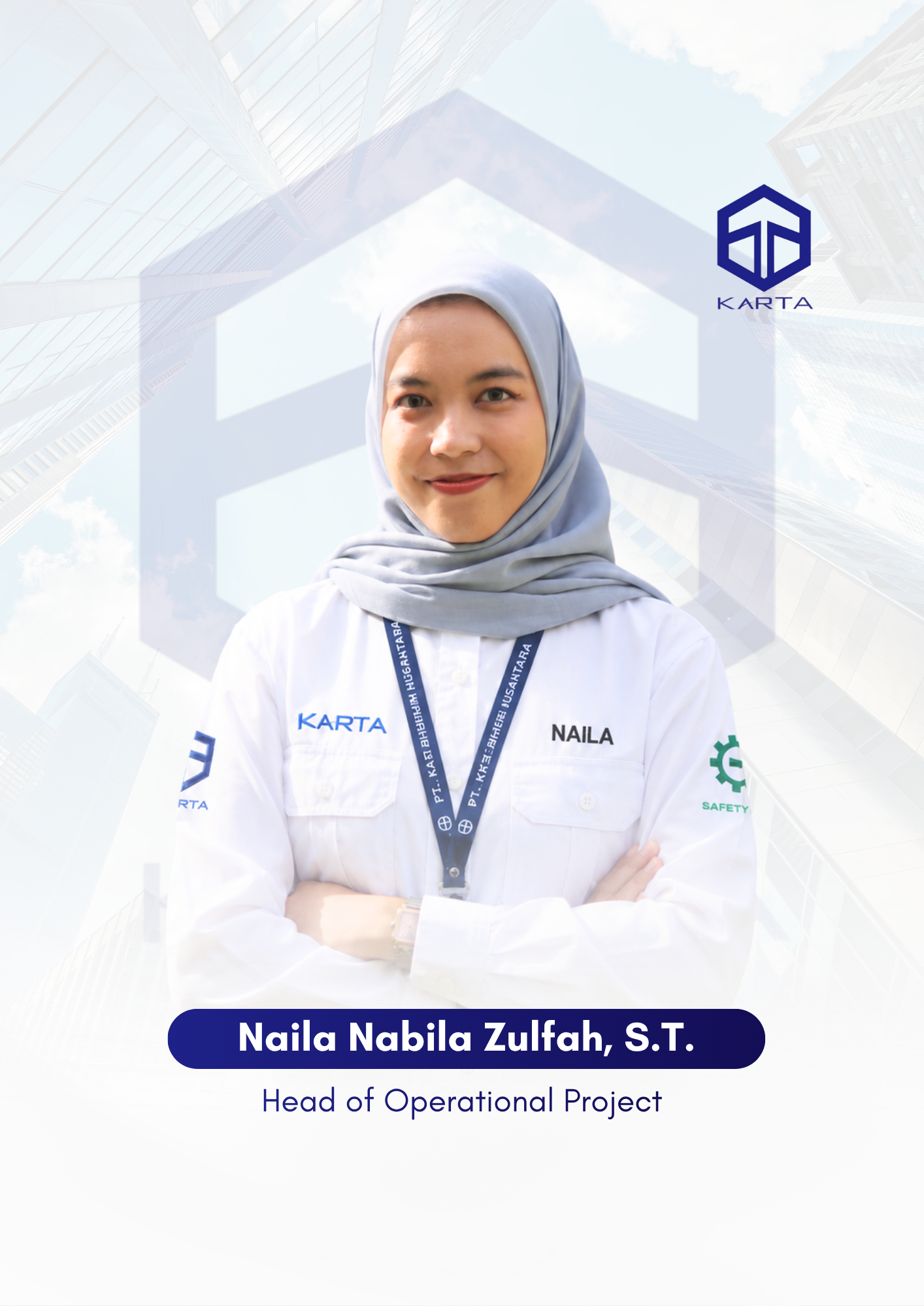
      Naila Nabila Zulfah, S. T.

      Professionals who are experts in surveying and mapping using UAV, LiDAR, and GIS technologies. With extensive backgrounds and experience in large-scale topographic projects, both domestically and internationally, they are proficient in modern mapping techniques—ranging from aerial, marine, and terrestrial data collection to advanced spatial processing and visualization.

      Personal Information

      Naila Nabila Zulfah, S.T., is an Operational Project Staff member at PT Karta Bhumi Nusantara. She is a dedicated professional with two years of experience in the field of surveying and mapping. After completing her studies, she began her career as a staff member at PT Karta Bhumi Nusantara, a company specializing in surveying and mapping services. Her has completed various projects, including mapping projects using UAV Lidar, bathymetry, and elevation monitoring.

      Skill:

      Industrial 90%
      Construction 75%
      Commercial 80%

      Education & Qualification

      Education

      Gadjah Mada University, Bachelor of Geodetic Engineering

      Career Start

      After completing her studies, She began his career as a staff member at PT Karta Bhumi Nusantara, a company specializing in surveying and mapping services.

      Experience

      2 years in the field of surveying and mapping business management.

      Expert

      UAV LiDAR and Batimetric

      Contact me

      The first mate and his Skipper too will do their very best to make the others comfortable in their tropic island nest Got a dream and we just know now we’re gonna make our dream come true.

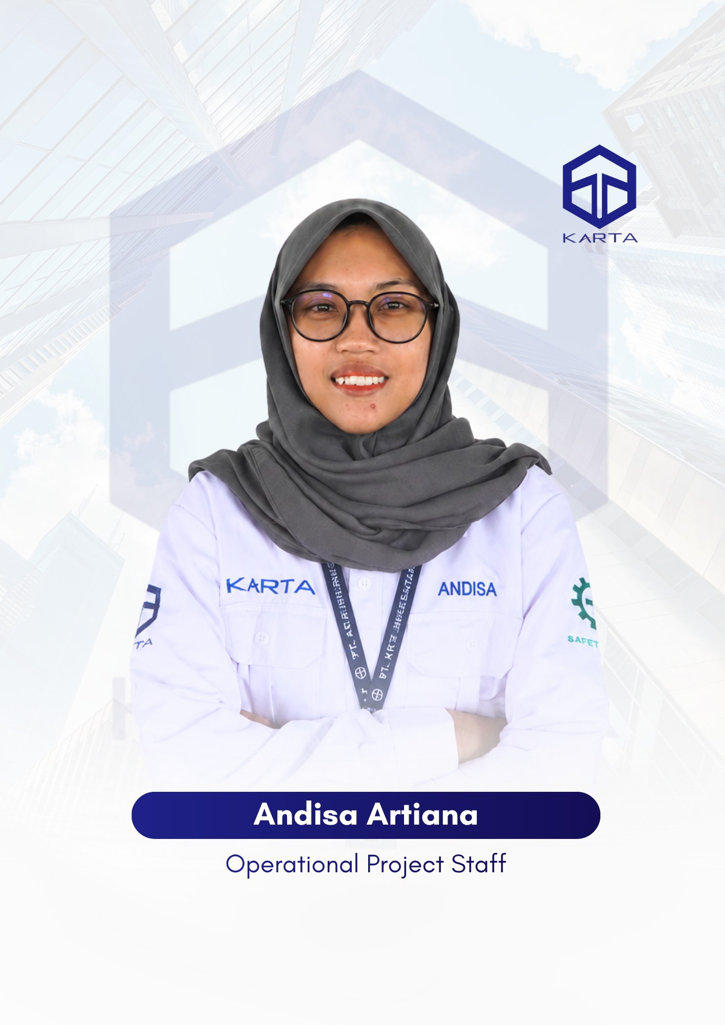
        Andisa Artiana

        Professionals who are experts in surveying and mapping using UAV, LiDAR, and GIS technologies. With extensive backgrounds and experience in large-scale topographic projects, both domestically and internationally, they are proficient in modern mapping techniques—ranging from aerial, marine, and terrestrial data collection to advanced spatial processing and visualization.

        Personal Information

        Andisa Artiana., is an Operational Project Staff member at PT Karta Bhumi Nusantara. She is a dedicated professional with two years of experience in the field of surveying and mapping. After completing her studies, she began her career as a staff member at PT Karta Bhumi Nusantara, a company specializing in surveying and mapping services. Her has completed various projects, including mapping projects using UAV Lidar, bathymetry, and elevation monitoring.

        Skill:

        Industrial 90%
        Construction 75%
        Commercial 80%

        Education & Qualification

        Education

        SMK N 2 Yogyakarta

        Career Start

        After completing her studies, She began his career as a staff member at PT Karta Bhumi Nusantara, a company specializing in surveying and mapping services.

        Experience

        2 years in the field of surveying and mapping business management.

        Expert

        UAV LiDAR and Batimetric

        Contact me

        The first mate and his Skipper too will do their very best to make the others comfortable in their tropic island nest Got a dream and we just know now we’re gonna make our dream come true.

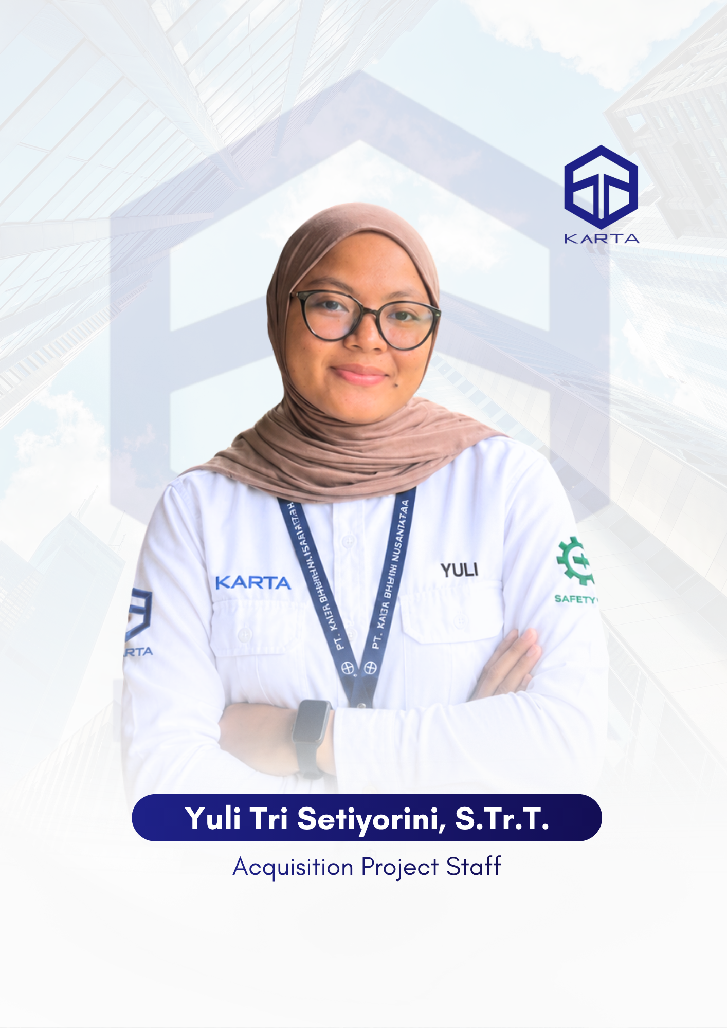
          Yuli Tri Setiyorini, S.Tr.T.

          Professionals who are experts in surveying and mapping using UAV, LiDAR, and GIS technologies. With extensive backgrounds and experience in large-scale topographic projects, both domestically and internationally, they are proficient in modern mapping techniques—ranging from aerial, marine, and terrestrial data collection to advanced spatial processing and visualization.

          Personal Information

          Yuli Tri Setiyorini, S. Tr. T., is an Acquisition Project Staff member at PT Karta Bhumi Nusantara. She is a dedicated professional with two years of experience in the field of surveying and mapping. After completing her studies, She began her career as a staff member at PT Karta Bhumi Nusantara, a company specializing in surveying and mapping services. She has completed various projects, including mapping projects using UAV Lidar, bathymetry, and elevation monitoring.

          Skill:

          Industrial 90%
          Construction 75%
          Commercial 80%

          Education & Qualification

          Education

          Gadjah Mada University, Bachelor of Survey and Mapping Technology

          Career Start

          After completing his studies, he began his career as a staff member at PT Karta Bhumi Nusantara, a company specializing in surveying and mapping services.

          Experience

          2 years in the field of surveying and mapping business management.

          Expert

          UAV LiDAR and Batimetric

          Contact me

          The first mate and his Skipper too will do their very best to make the others comfortable in their tropic island nest Got a dream and we just know now we’re gonna make our dream come true.

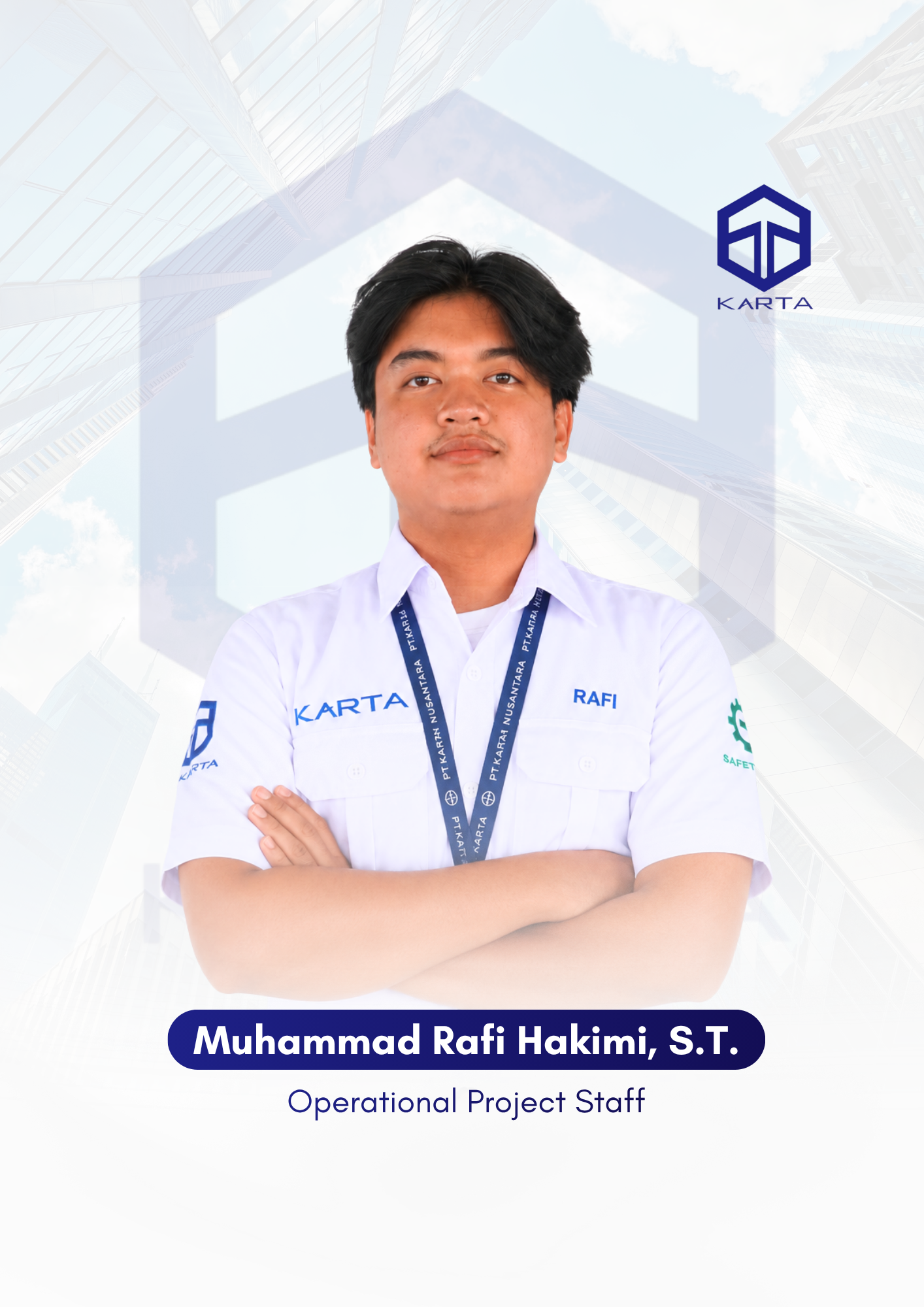
            M. Rafi Hakimi, S.T.

            Professionals who are experts in surveying and mapping using UAV, LiDAR, and GIS technologies. With extensive backgrounds and experience in large-scale topographic projects, both domestically and internationally, they are proficient in modern mapping techniques—ranging from aerial, marine, and terrestrial data collection to advanced spatial processing and visualization.

            Personal Information

            M. Rafi Hakimi, S.T., is an Operational Project Staff member at PT Karta Bhumi Nusantara. He is a dedicated professional with two years of experience in the field of surveying and mapping. After completing his studies, he began his career as a staff member at PT Karta Bhumi Nusantara, a company specializing in surveying and mapping services. He has completed various projects, including mapping projects using UAV Lidar, bathymetry, and elevation monitoring.

            Skill:

            Industrial 90%
            Construction 75%
            Commercial 80%

            Education & Qualification

            Education

            Gadjah Mada University, Bachelor of Geodetic Engineering

            Career Start

            After completing his studies, he began his career as a staff member at PT Karta Bhumi Nusantara, a company specializing in surveying and mapping services.

            Experience

            2 years in the field of surveying and mapping business management.

            Expert

            UAV LiDAR and Batimetric

            Contact me

            The first mate and his Skipper too will do their very best to make the others comfortable in their tropic island nest Got a dream and we just know now we’re gonna make our dream come true.

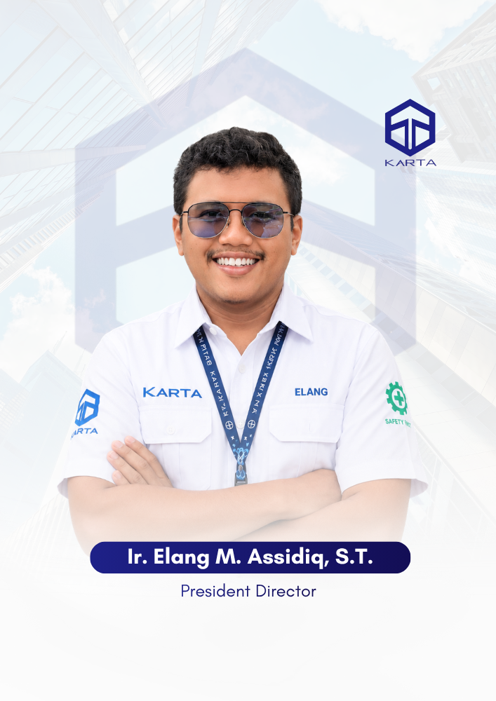
              Ir. Elang Manglarmonga Assidiq, S.T.

              President Director

              Professionals who are experts in surveying and mapping based on UAV, LiDAR, and GIS technologies. With a background and in-depth experience in large-scale topographic projects, both domestically and internationally, they master modern mapping from aerial, marine, and terrestrial data acquisition to advanced spatial processing and visualization.

              Phone Number
              +62 813-6322-8021
              Address Info
              Yogyakarta, Indonesia

              Personal Information

              Ir. Elang Manglarmonga Assidiq, S.T. is the President Director of PT. Karta Bhumi Nusantara, he is a dedicated professional with 7 years of experience in mapping surveys. After completing his studies, he began his professional journey by establishing PT Karta Bhumi Nusantara, a company engaged in surveying and mapping services. He has completed various projects, including mapping projects with UAV Lidar, bathymetry, elevation monitoring.

              Skill:

              Industrial 90%
              Construction 75%
              Commercial 80%

              Education & Qualification

              Education

              Gadjah Mada University, Bachelor of Geodetic Engineering

              Career Start

              After completing his studies, he embarked on his professional journey by founding PT Karta Bhumi Nusantara, a company specializing in surveying and mapping services.

              Experience

              7 years in the field of surveying and mapping business management.

              Expert

              Contact me

              The first mate and his Skipper too will do their very best to make the others comfortable in their tropic island nest Got a dream and we just know now we’re gonna make our dream come true.

                Ir. Wahyu Banitara, S.T.

                Director

                Experts in technology-based surveying and mapping such as UAVs, LiDAR, and GIS. With extensive experience in large-scale topographic projects, both domestic and international, they master modern mapping, from aerial, marine, and terrestrial data acquisition to advanced spatial processing and visualization.

                Phone Number
                +62 823-7766-6552
                Address Info
                Palembang, Indonesia

                Personal Information

                Ir. Wahyu Banitara, S.T. is the Director of PT Karta Bhumi Nusantara, he is a dedicated professional with 5 years of experience in mapping surveys. After completing his studies, he began his professional journey by establishing PT Karta Bhumi Nusantara, a company engaged in surveying and mapping services. He has completed various projects, including mapping projects with UAV Lidar, bathymetry, elevation monitoring, etc.

                Skill:

                Industrial 90%
                Construction 75%
                Commercial 80%

                Education & Qualification

                Education

                Gadjah Mada University, Bachelor of Geodetic Engineering

                Career Start

                After completing his studies, he embarked on his professional journey by founding PT Karta Bhumi Nusantara, a company specializing in surveying and mapping services.

                Experience

                7 years in the field of surveying and mapping business management.

                Expert

                Contact me

                The first mate and his Skipper too will do their very best to make the others comfortable in their tropic island nest Got a dream and we just know now we’re gonna make our dream come true.

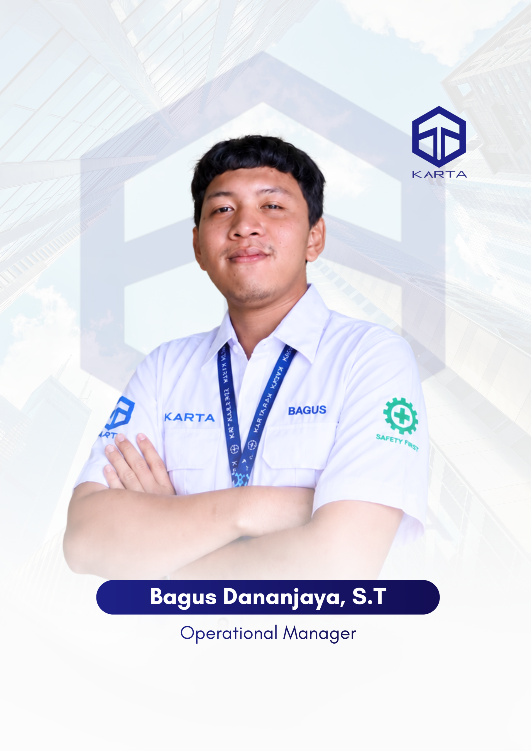
                  Bagus Dananjaya, S.T.

                  Operational Manager
                  Address Info
                  Yogyakarta, Indonesia

                  Personal Information

                  A wonderful serenity has taken possession of my entire soul, like these sweet mornings of spring which I enjoy with my whole heart. I am alone, and feel the charm of existence in this spot, which was created for the bliss of souls like mine. I am so happy, my dear friend, so absorbed in the exquisite sense of mere tranquil existence, that I neglect my talents. The first place you think of when you are getting ready. Of all of the celestial bodies that capture our attention and fascination as astronomers when you are getting ready.

                  Skill:

                  Industrial 90%
                  Construction 75%
                  Commercial 80%

                  Education & Qualification

                  Education

                  Career Start

                  Experience

                  6 years of professional experience as a surveyor and drone pilot, specializing in aerial data acquisition, topographic mapping, and geospatial analysis through the use of advanced UAV technology.

                  Expert

                  Pilot Drone, Topographic Mapping

                  Contact me

                  The first mate and his Skipper too will do their very best to make the others comfortable in their tropic island nest Got a dream and we just know now we’re gonna make our dream come true.

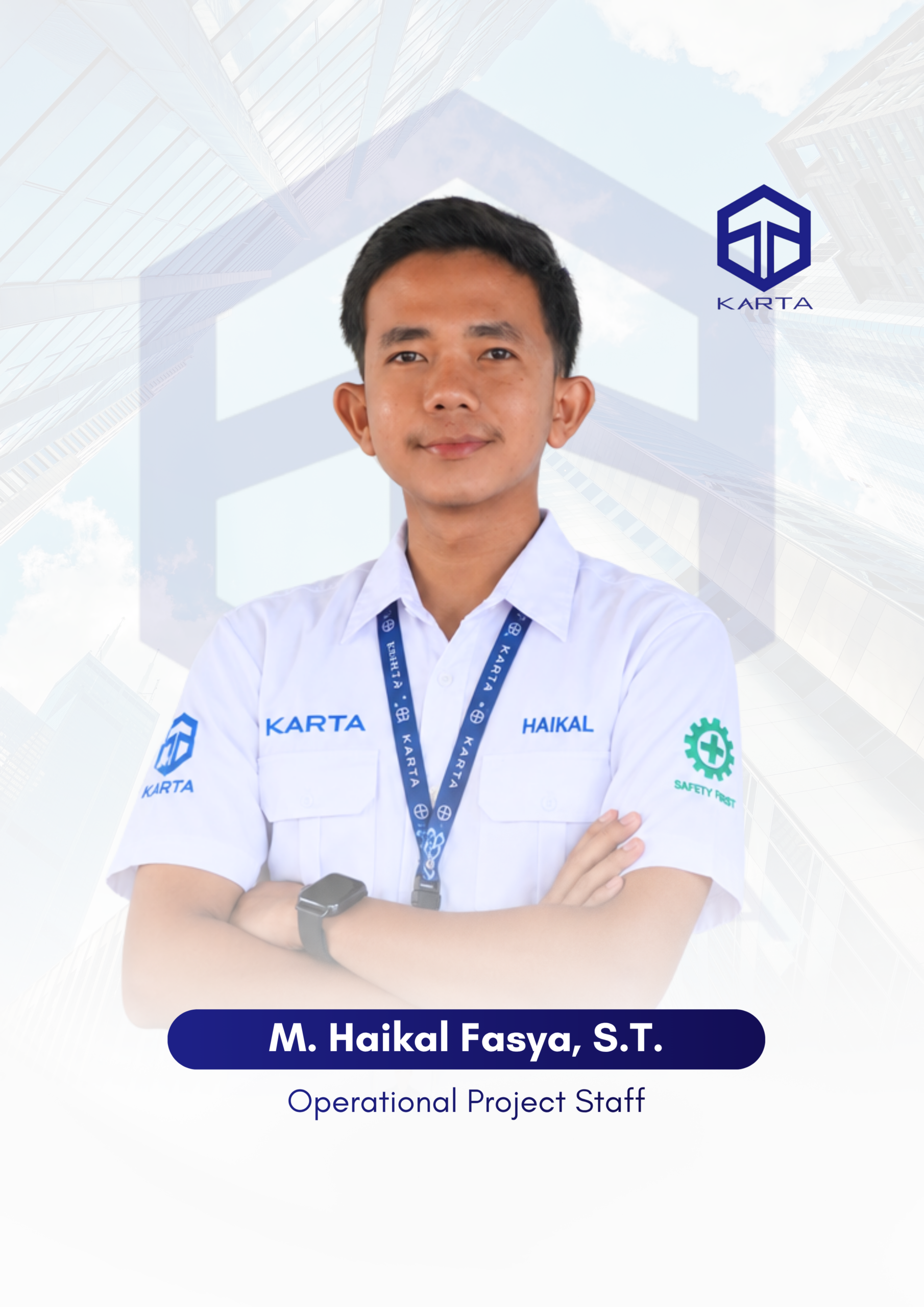
                    M. Haikal Fasya, S.T.

                    Personal Information

                    A wonderful serenity has taken possession of my entire soul, like these sweet mornings of spring which I enjoy with my whole heart. I am alone, and feel the charm of existence in this spot, which was created for the bliss of souls like mine. I am so happy, my dear friend, so absorbed in the exquisite sense of mere tranquil existence, that I neglect my talents. The first place you think of when you are getting ready. Of all of the celestial bodies that capture our attention and fascination as astronomers when you are getting ready.

                    Skill:

                    Industrial 90%
                    Construction 75%
                    Commercial 80%

                    Education & Qualification

                    Education

                    Sumatra Institute of Technology, Bachelor of Geodetic Engineering

                    Career Start

                    Experience

                    2 years of experience in geospatial data processing, specializing in the analysis and management of LiDAR and photogrammetry datasets for accurate mapping and spatial modeling

                    Expert

                    LiDAR and Photogrammetry Processing, Topographic Mapping

                    Contact me

                    The first mate and his Skipper too will do their very best to make the others comfortable in their tropic island nest Got a dream and we just know now we’re gonna make our dream come true.