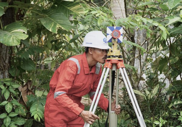
Topographic Survey
Providing accurate elevation and land contour data as a basis for planning and technical design of various construction, infrastructure, agriculture, and mining projects. Using a Total Station tool that is capable of producing topographic maps with high accuracy according to the required technical standards.
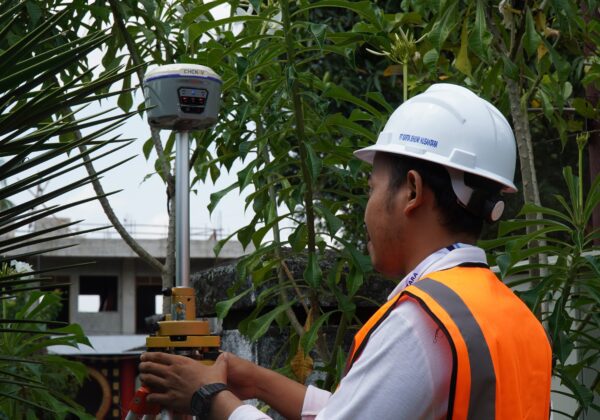
GNSS Survey
We provide reliable and accurate GNSS survey services for various mapping, construction, deformation monitoring, and boundary determination needs. Our GNSS survey services include mapping control point positioning, monitoring point positioning, and object positioning.
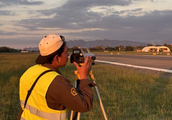
Levelling Survey
Determination of the orthometric elevation position of a control point or monitoring point. Leveling surveys are used to obtain information about the difference in elevation between various points in an area. The leveling process involves the use of tools such as a waterpass that can measure elevation with a high degree of precision.
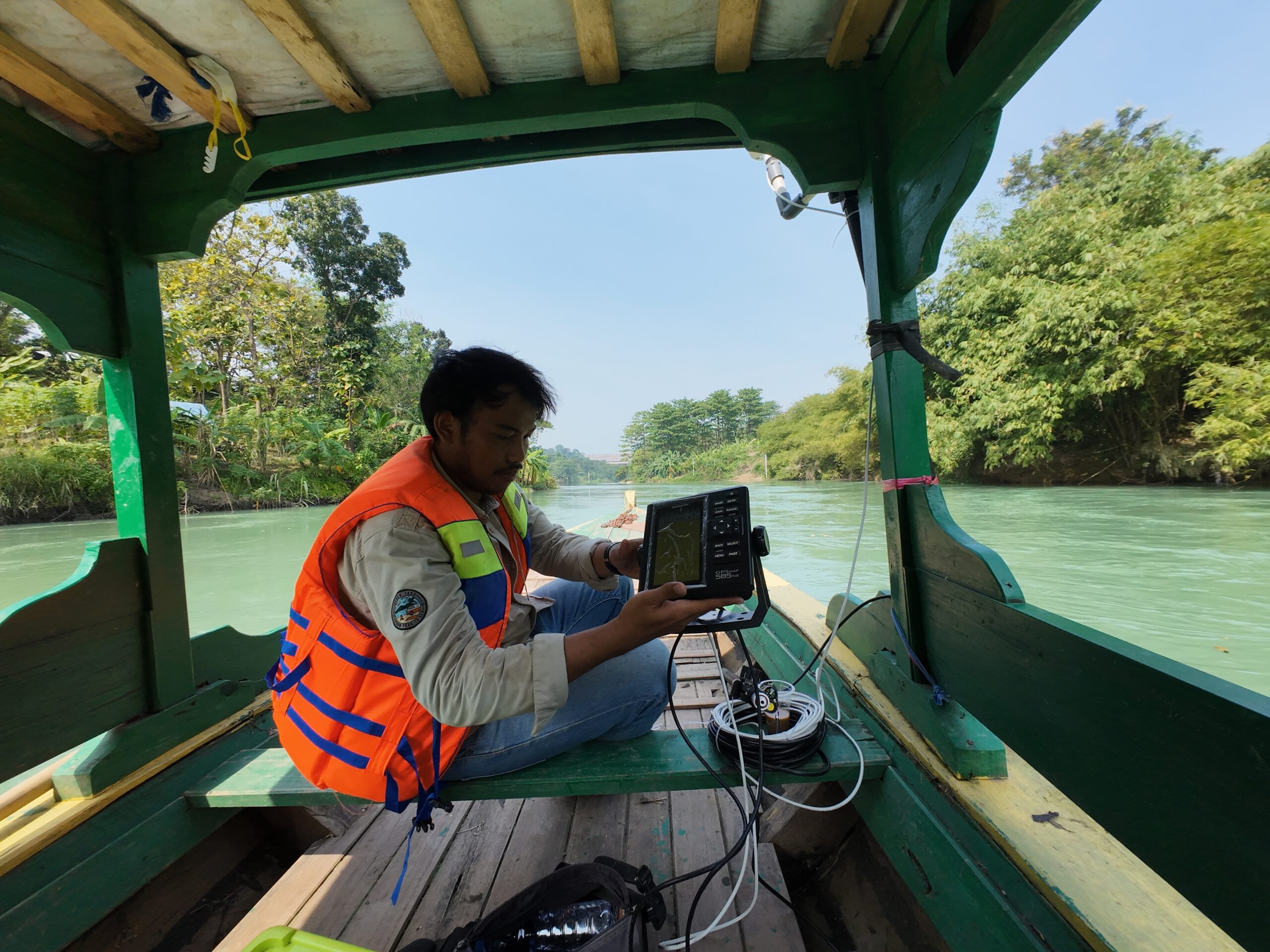
Bathymetric Survey
Determination of depth and mapping of the water floor to produce geospatial information on the water floor so that this information can be used for various purposes such as navigation, water resource management, environmental monitoring, and coastal area development planning.
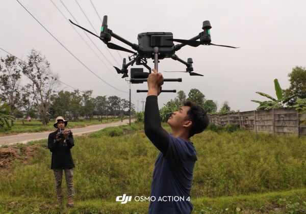
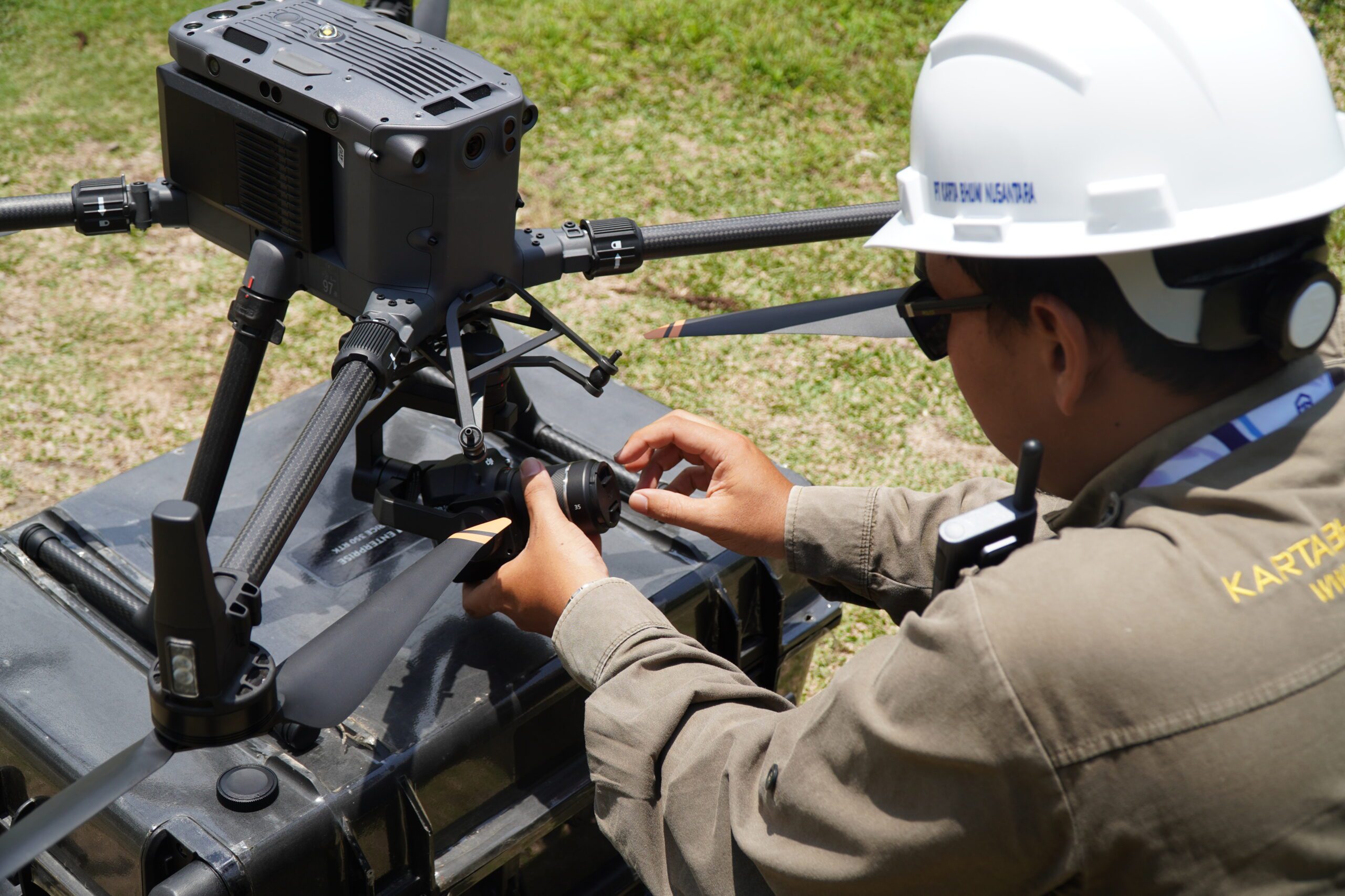
UAV LiDAR Survey and Photogrammetry
Using high-quality drones and sensors. Capable of achieving high levels of detail, convenience in mapping hard-to-access areas, and time and cost efficiency. Becoming a solution in various applications such as industrial mapping, precision agriculture, natural resource management, and infrastructure monitoring.