Preparation of RDTR (Detailed Spatial Planning)
We provide planning services for the preparation of RDTR (Detailed Spatial Plan) as a technical reference for planning and utilization of space at the district/city or strategic area level. This service includes data collection and inventory, analysis of regional conditions, delineation and determination of zones, preparation of digital RDTR maps, technical documents, cross-sector coordination to legalization and determination assistance.
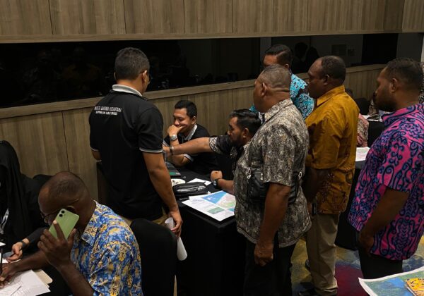
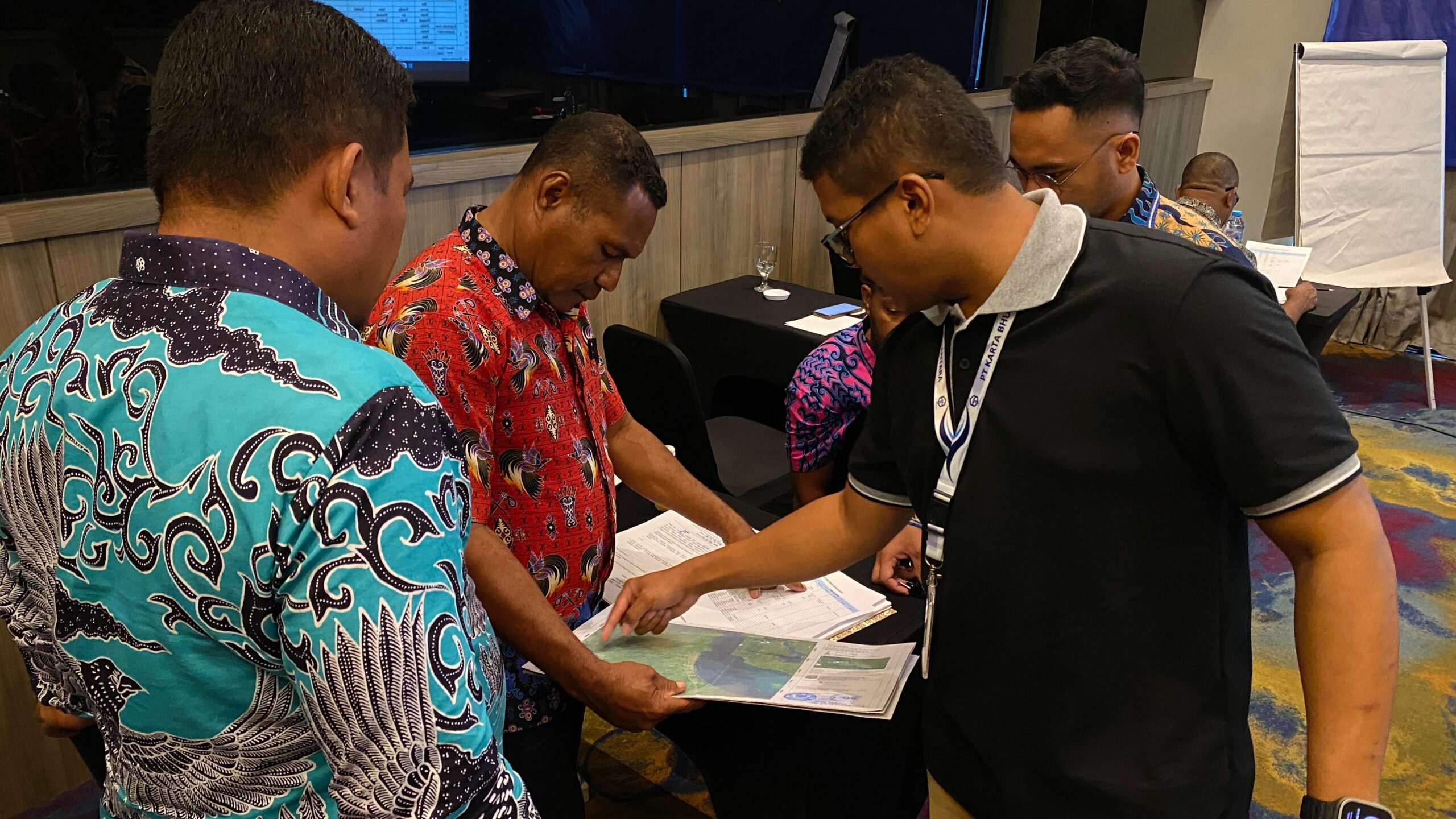
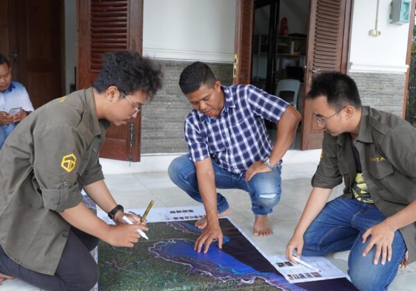
Determination and Confirmation of Territorial Boundaries (PPBW)
We provide survey and mapping services to support the activities of Determination and Confirmation of Regional Boundaries (PPBW) between villages, sub-districts, to regencies/cities. Services include collecting legal and historical data, surveying boundary coordinates, making boundary maps, installing boundary markers (stakes), to compiling minutes. All activities are carried out in accordance with technical guidelines and regulations from BIG (Geospatial Information Agency).