Aerial Photo Survey on the Cikampek – Haurgeulis Railway Line

Project Details

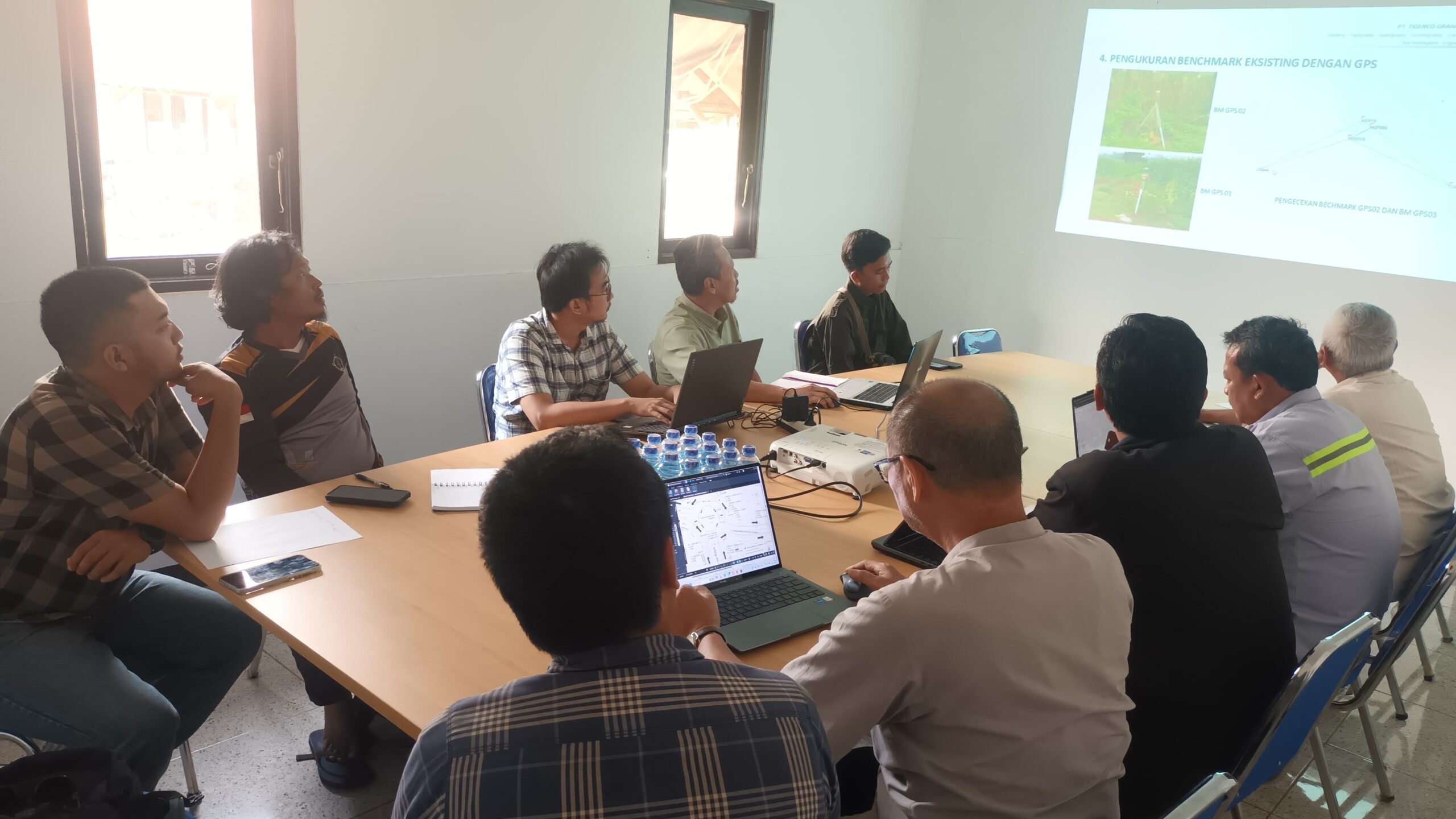
PT Karta Bhumi Nusantara conducted an aerial mapping survey along the Cikampek-Haurgeulis railway line as part of its efforts to provide high-quality spatial data for railway infrastructure planning, monitoring, and development. This activity was carried out using high-tech UAV (drone mapping) capable of producing high-resolution orthophotos and digital elevation models efficiently and accurately.

Project Name
Aerial Photo Survey on the Cikampek – Haurgeulis Railway Line
Client
PT. Tigenco Graha Persada
Category
Planning
Location
Karawang, West Java
Year
2025

Project Summery

Photogrammetric surveying is a method of measuring and mapping the Earth's surface by analyzing aerial photographs or imagery taken from aircraft, drones (UAVs), or satellites. This technique utilizes principles of geometry and optics to transform two-dimensional images into three-dimensional spatial information, such as contours, elevations, and the position of objects on the ground. 
In practice, photogrammetric surveys are conducted by taking a series of overlapping photographs, which are then processed using specialized software to produce products such as orthophotos, digital elevation models (DEM/DTM/DSM), and topographic maps. This method is highly efficient for mapping large areas with a high degree of accuracy and is widely used in the fields of construction, transportation, forestry, mining, and regional planning.