Topographic Survey for Land and Water Optimization in Banten

Project Details

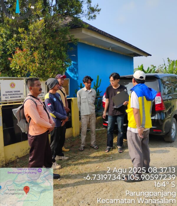
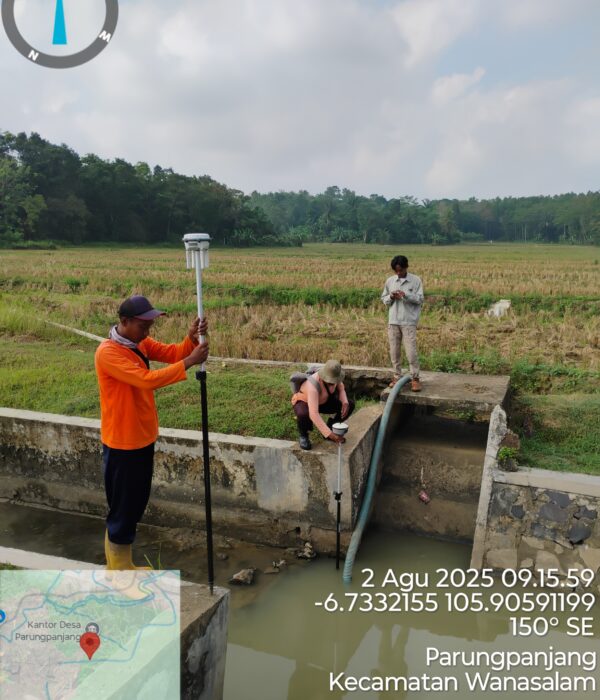
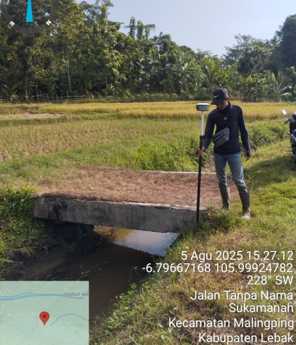
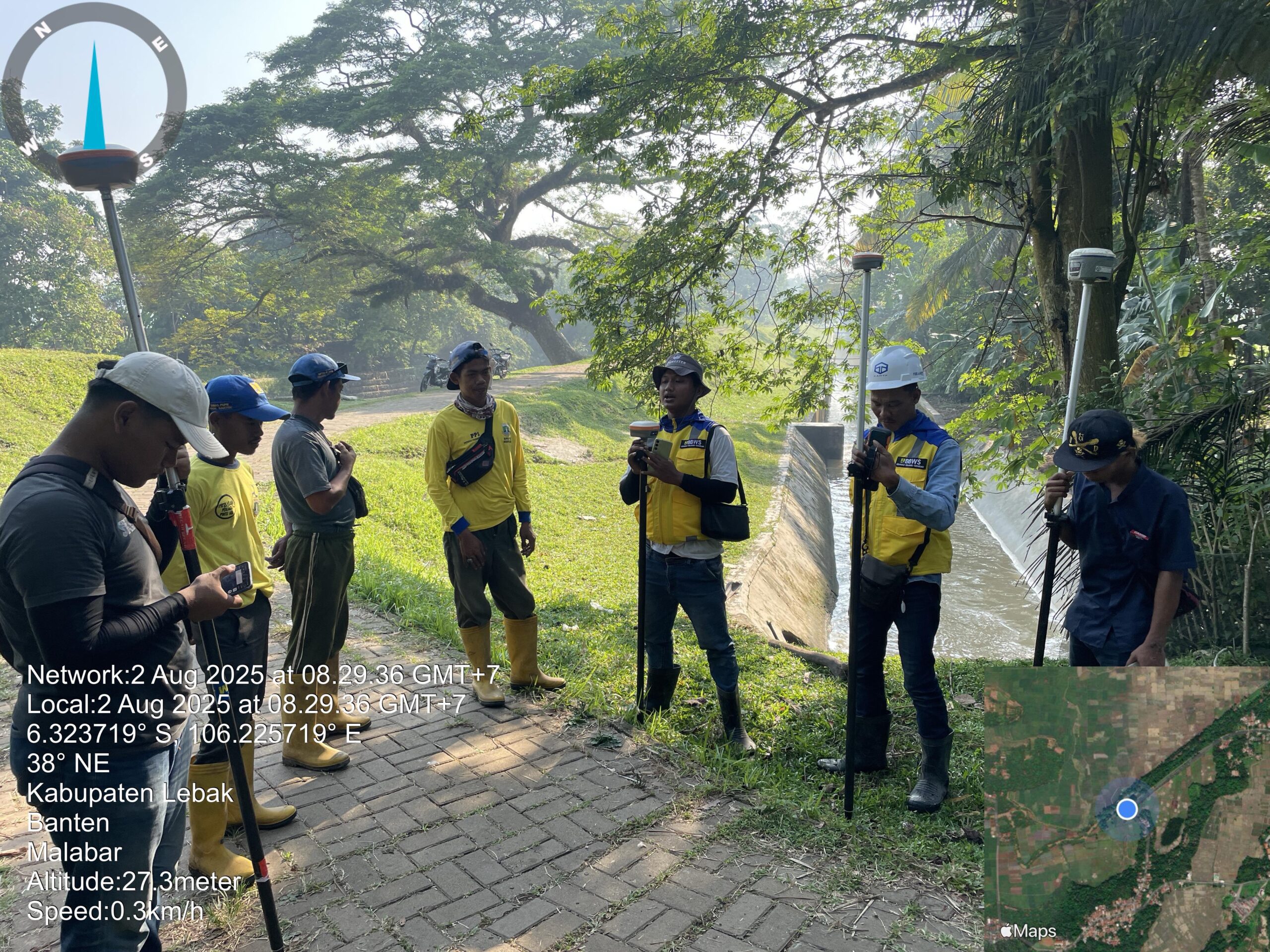
PT Karta Bhumi Nusantara conducted topographic surveys in several irrigation areas as part of its contribution to the Ministry of Public Works and Public Housing’s Land and Water Optimization (OPLAH) program. These surveys aim to support sustainable agricultural development by providing accurate spatial data for planning, monitoring, and optimizing water and land resources.

This activity was conducted using the RTK GNSS survey method, which allows for the production of precise topographic maps, irrigation channel cross-sections, and other critical data to ensure the effective design and implementation of irrigation infrastructure improvements.

Project Name
Topographic Survey for Land and Water Optimization in Banten
Category
Planning

Project Summery

The results of a topographic survey conducted in 28 Irrigation Areas (D.I.) in Banten Province revealed varying conditions in the irrigation network, both in terms of construction and functionality. While most canals are constructed using concrete, many sections of earthen canals are still susceptible to damage, leaks, and sedimentation. The obtained elevation, contour, and cross-sectional and longitudinal data provide a detailed picture of the canal's capacity and physical condition, which can serve as a basis for technical planning for irrigation network repairs and rehabilitation. 
With a total surveyed canal length of 138.86 km, RTK GNSS measurement data, 1:1,000-scale contour maps, and 50-meter long and cross-section profiles have been compiled as the primary output. This information is expected to support the Ministry of Public Works and Public Housing (PUPR) through its OPLAH program in making strategic decisions regarding the rehabilitation, improvement, and maintenance of irrigation canals in Banten. Accurate geospatial data allows for more targeted planning, thereby increasing agricultural productivity and supporting national food security.