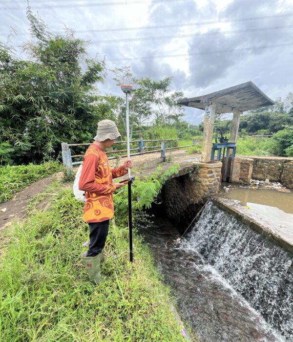
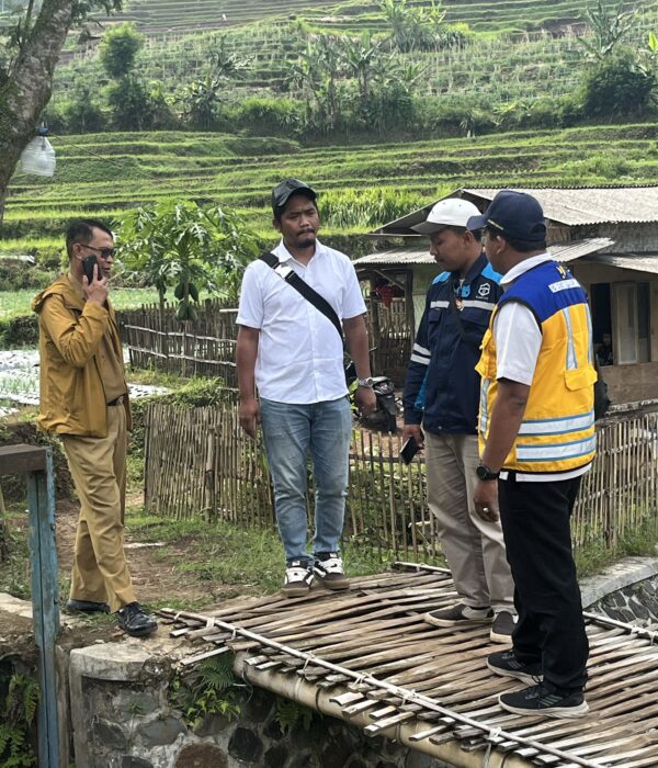
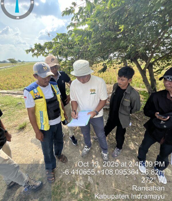
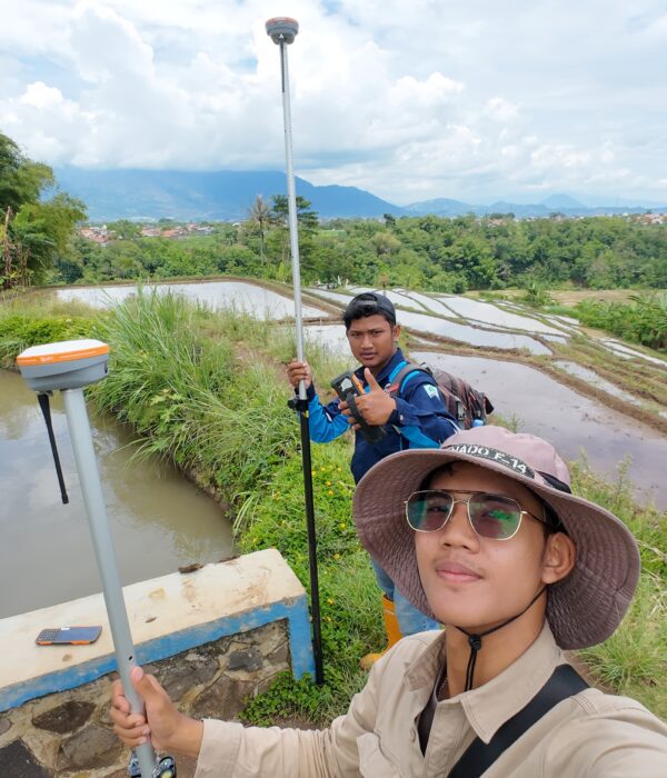
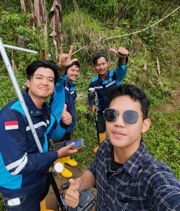
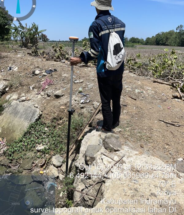
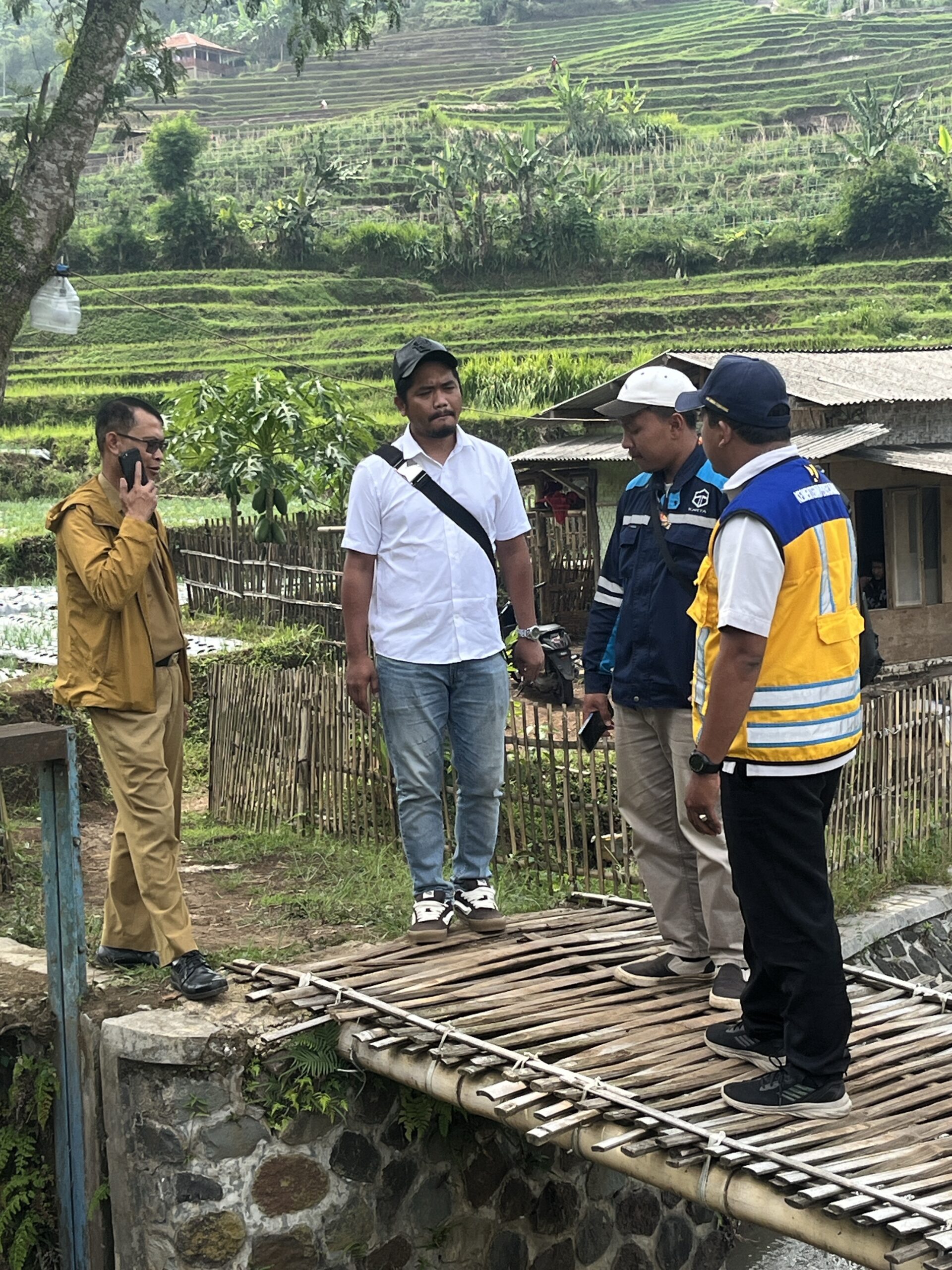
Topographic Survey for Irrigation Land Optimization in West Java

Project Details

PT. Karta Bhumi Nusantara has successfully completed a comprehensive topographic survey to support the Land Optimization Program (OPLAH) in West Java Province. In collaboration with the Ministry of Public Works and Housing (PUPR), our team conducted a massive mapping operation across 21 Irrigation Areas.

Project Name
Topographic Survey for Irrigation Land Optimization in West Java
Category
Planning

Project Summery

Topographic Survey for Irrigation Land Optimization in West Java
We are thrilled to share the successful completion of our Topographic Survey Project aimed at optimizing land and irrigation networks across West Java Province. Carried out by PT. Karta Bhumi Nusantara, this initiative is a vital step in supporting Indonesia’s national food security through reliable infrastructure.
What We Did 🔍
Our team embarked on a comprehensive mission to capture high-precision geospatial data across four key regencies: Brebes, Garut, Kuningan, and Indramayu. Covering a total area of over 41.6 kilometers, we focused on detailed mapping of 21 Irrigation Areas (D.I.) to provide the foundation for future renovations and improvements.
To ensure the highest accuracy, we utilized cutting-edge RTK GNSS (Real Time Kinematic) technology. This allowed us to achieve horizontal precision of ±1–2 cm and vertical precision of ±2–3 cm in real-time. From establishing permanent Bench Marks (BM) to creating detailed 1:1,000 scale contour maps, every step was executed with technical excellence
What We Discovered on the Ground?
Comprehensive Data: We produced detailed Long & Cross Sections every 50 meters to analyze canal geometry and water flow efficiency.
Diverse Conditions: Our survey identified a mix of modern concrete canals and traditional earth-based channels, highlighting specific areas that need rehabilitation to prevent water loss.
Sustainable Impact: By identifying leaks, damaged embankments, and sedimentation, our data provides a clear roadmap for the Ministry of Public Works and Housing (PUPR) to optimize water distribution to farmers.
Final Deliverables 📋
We have successfully handed over a complete package of digital assets, including raw geospatial data, high-accuracy Bench Mark (BM) records, and detailed 1:1,000 scale contour maps. 
 Why Is This Project  Important?
Reliable irrigation is the backbone of agriculture. This survey isn't just about collecting numbers; it’s about revitalizing our food source. By providing high-precision mapping, we enable the government to:
- Maximize Land Potential: Transform underutilized areas into productive farmland through the Land Optimization Program (OPLAH).
- Water Efficiency: Ensure that every drop of water from the source reaches the rice fields without being lost to leaks or poor drainage.
- Resilient Infrastructure: Provide the exact data needed to repair aging canals, preventing floods during the rainy season and droughts during the dry season.
We are proud to contribute to a more sustainable and productive agricultural future in West Java!
💡 Want to learn more about our geospatial solutions? Stay tuned for more project updates!
#TopographicSurvey #Geospatial #CivilEngineering #IrrigationSystem #LandOptimization #SmartFarming #PrecisionMapping #InfrastructureDevelopment #WestJavaProject #NationalFoodSecurity #GNSSRTK #EngineeringExcellence