Penetapan dan Penegasan Batas Wilayah (PPBW) di Kabupaten Raja Ampat

Project Details

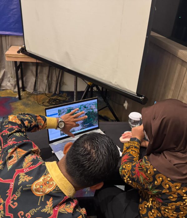
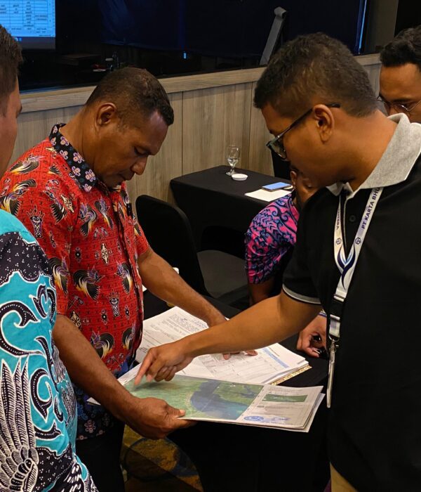
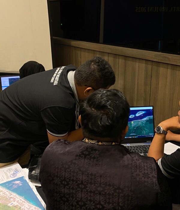
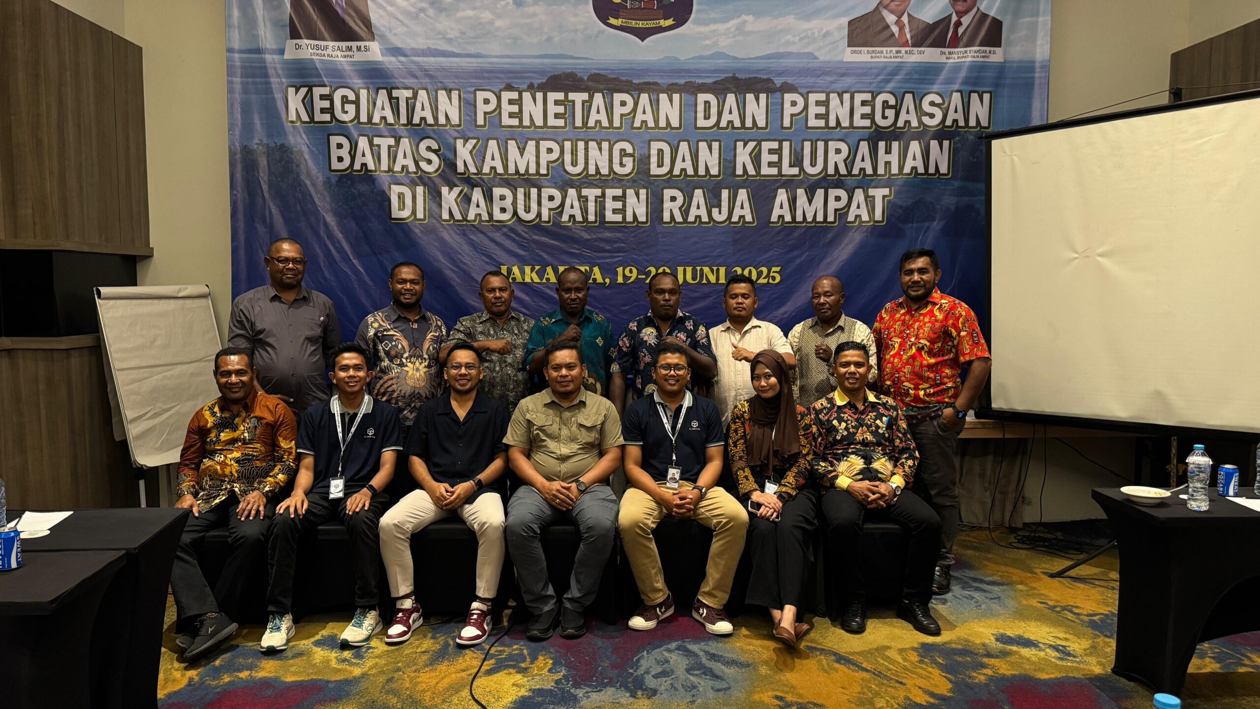
PT. Karta Bhumi Nusantara telah melaksanakan Penetapan dan Penegasan Batas Wilayah di Kabupaten Raja Ampat dengan jumlah wilayah 10 Distrik (48 Desa), Penetapan dan Penegasan Batas Wilayah Desa dilakukan secara kartometrik berdasarkan kesepakatan bersama para pihak terkait yang berbatasan.

Project Name
Penetapan dan Penegasan Batas Wilayah (PPBW) di Kabupaten Raja Ampat
Client
Raja Ampat Regency Regional Government
Category
Geospasial,GIS
Location
Raja Ampat Regency
Year
2025

Project Summery

The Determination and Confirmation of Village Boundaries (PPBW) is a strategic step in strengthening legal certainty in administrative boundaries at the village level. This activity includes the verification of legal documents and cartometric boundary tracing. With clear and agreed-upon boundaries, village governments have a strong legal basis for preparing planning documents, implementing development, and managing village assets in an orderly manner.
PPBW not only impacts administrative and legal aspects but also plays a crucial role in supporting national spatial data integration, such as the One Map Policy. Established village boundaries can be used as a reference for mapping regional potential, providing public services, distributing village funds, and mitigating inter-regional boundary conflicts. Therefore, this process requires the active involvement of all stakeholders, from local governments and community leaders to technical institutions, to ensure accurate, participatory, and sustainable results.