
Project Details
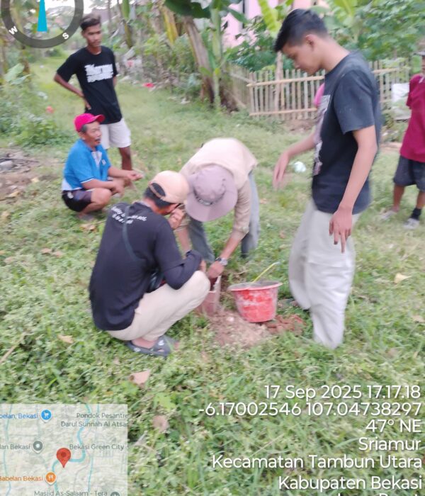
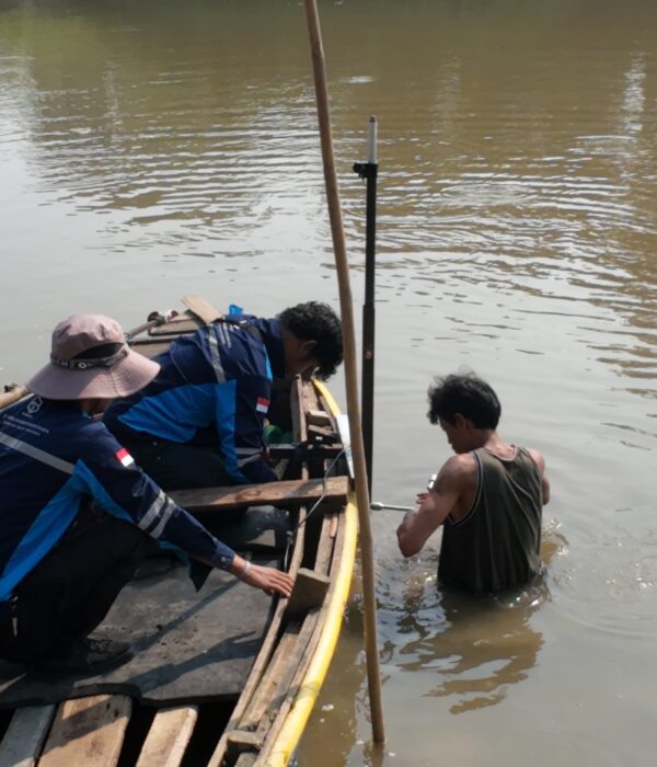
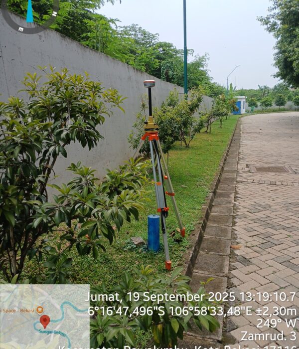
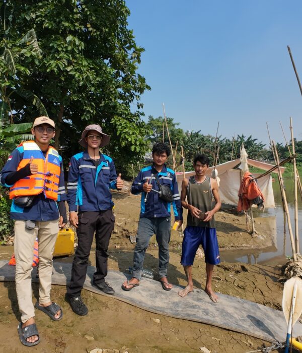
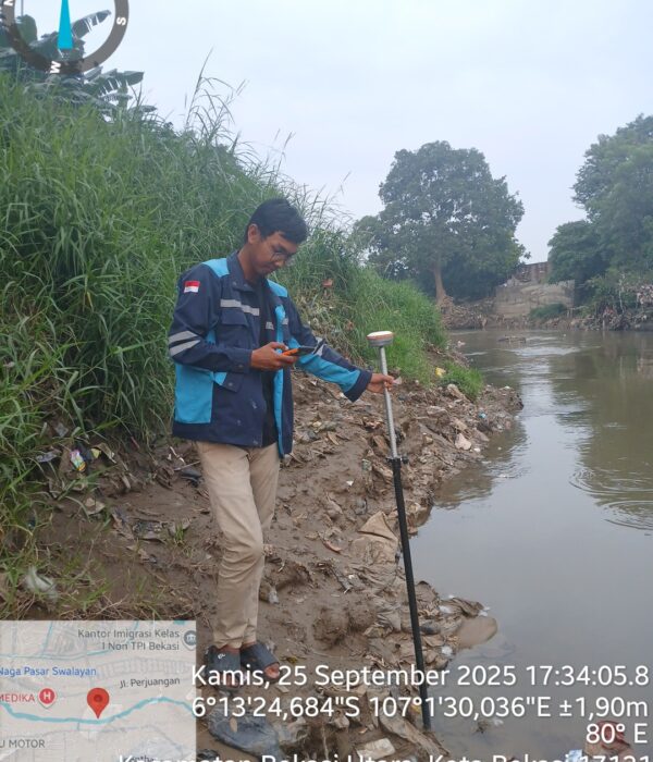
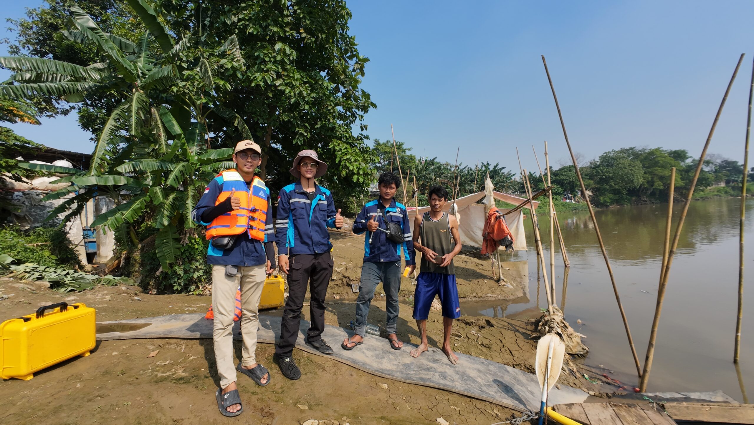
PT. Karta Bhumi Nusantara once again collaborated with the Ciliwung-Cisadane River Basin Management Agency (BBWS) to study the Bekasi River boundaries. Using UAV photogrammetry, GNSS RTK (Remote-Called Navigation), and bathymetry technology, the PT Karta Bhumi Nusantara team mapped approximately 34 km of the Bekasi River to precisely identify the river boundaries.
Project Name
Topographic Survey for Bekasi River Study
Category
Planning
Project Summery
Topographic Survey for the Kali Bekasi River Boundaries, Bekasi
Who would have thought that beneath the bustling traffic of Bekasi City lies a large river that serves as the lifeblood of the city's flood control system? This river not only channels rainwater and surface runoff, but also plays a vital role in the ecological system, maintaining environmental balance.
Unfortunately, the increasing density of development along the riverbanks has blurred the boundaries of the Bekasi River. Many buildings are standing too close, green spaces are shrinking, and water flow capacity is decreasing. As a result, the risk of flooding increases year after year.
So, how can we re-manage river spaces to keep them safe, functional, and sustainable?
The answer: seeing rivers from the air using modern geospatial technology
🛰️ Seeing Rivers with Centimeter Accuracy
Imagine:
- A drone flies low over the river, capturing thousands of high-resolution (5 cm/pixel) photos.
- A sonar instrument on an unmanned watercraft (USV) measures the depth of the riverbed with centimeter accuracy.
- Meanwhile, a GNSS instrument on land determines the position and elevation of each point with geodetic precision.
All this data is combined in processing software. The result? Not just a map, but a realistic picture of the current condition of the river and its banks, which can serve as a scientific basis for smarter urban spatial planning. This includes high-resolution (5 cm/pixel) orthophoto data, 0.5 m contour maps, and detailed river cross-sectional profiles, all of which serve as the basis for spatial planning of river boundaries and flood mitigation in the Bekasi area.
🌱 Data Speaks: From Images to Policy
The data generated from this survey is incredibly rich in information.Orthophoto maps with a resolution of 5 cm/pixel can clearly show buildings that are too close to the river, changes in riverbank lines, and even lost vegetation. From the DTM and cross-sections, planners can analyze the potential for flooding during the rainy season and identify critical points that need reinforcement or restoration.
💡 Why Is This Important for Cities and Residents?
- Maintaining riverbanks is not just the government's responsibility, but a matter for all of us
- When river boundaries are properly defined, flooding can be controlled because water has room to flow freely.
- Environmental quality improves because natural vegetation along the boundaries acts as a natural filter.
- Communities are safer because they no longer live in high-risk zones.
- City planning is more efficient because it is based on valid and up-to-date spatial data.
This project also demonstrates that innovative geospatial technology can help maintain a balance between development and environmental sustainability. This technology not only produces maps but also presents a new direction in environmental management based on spatial data.
#KartaBhumiNusantara #UAVLiDAR #Photogrammetry #Bathymetry #RiverBorder #KaliBekasi #BBWSCiliwungCisadane #Topography #GeospatialIndonesia #SurveyDrone #EnvironmentalMapping #BuildWithPrecision


