Project Details
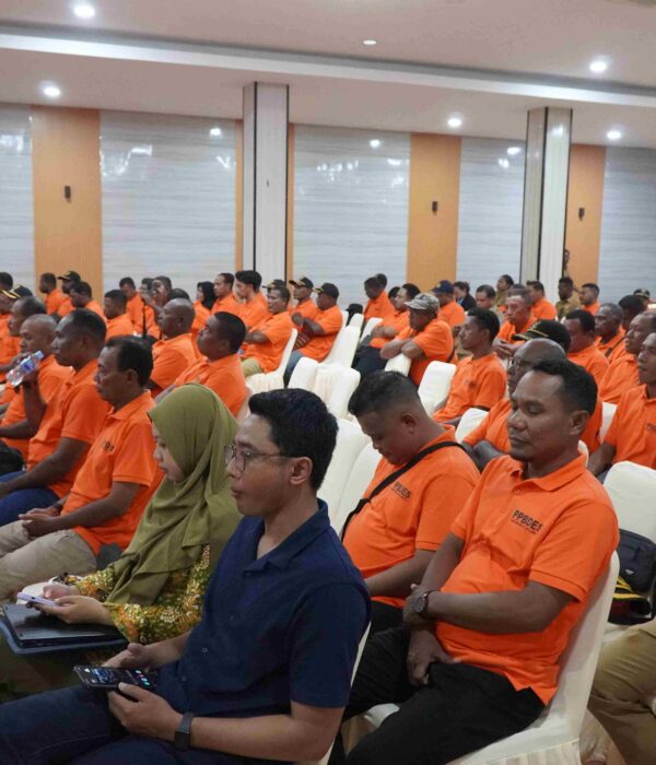
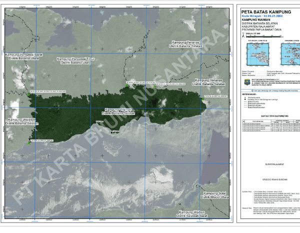
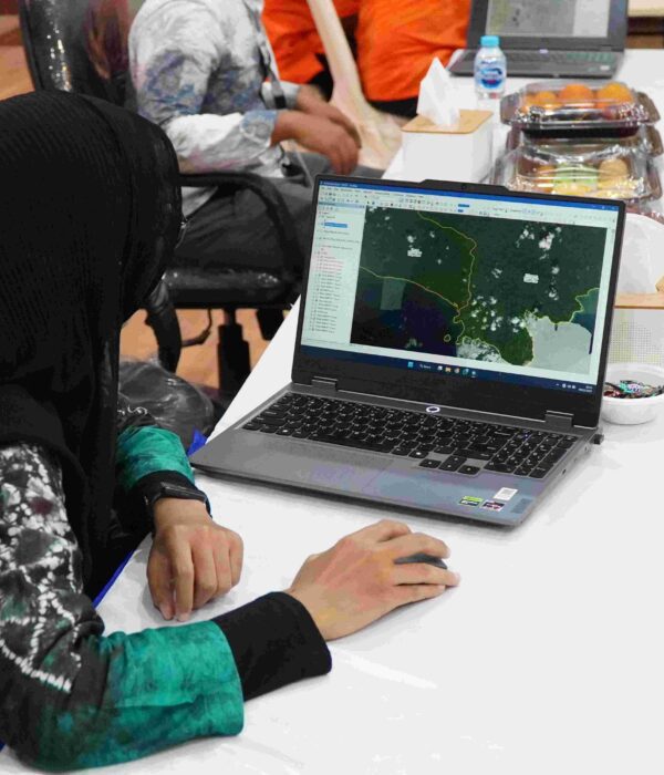
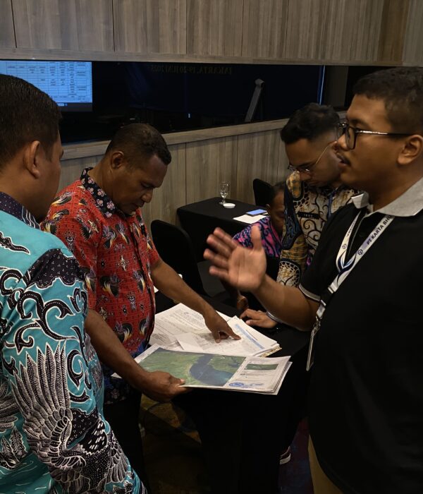
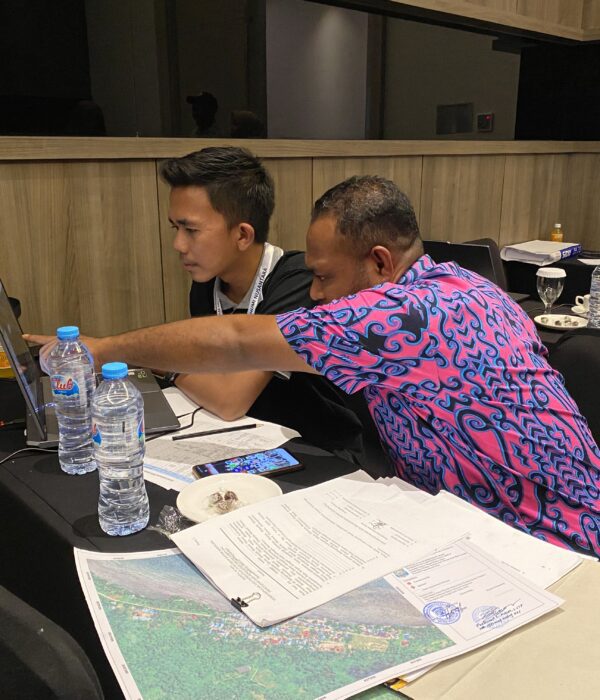
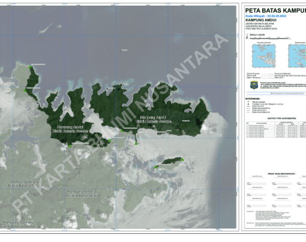
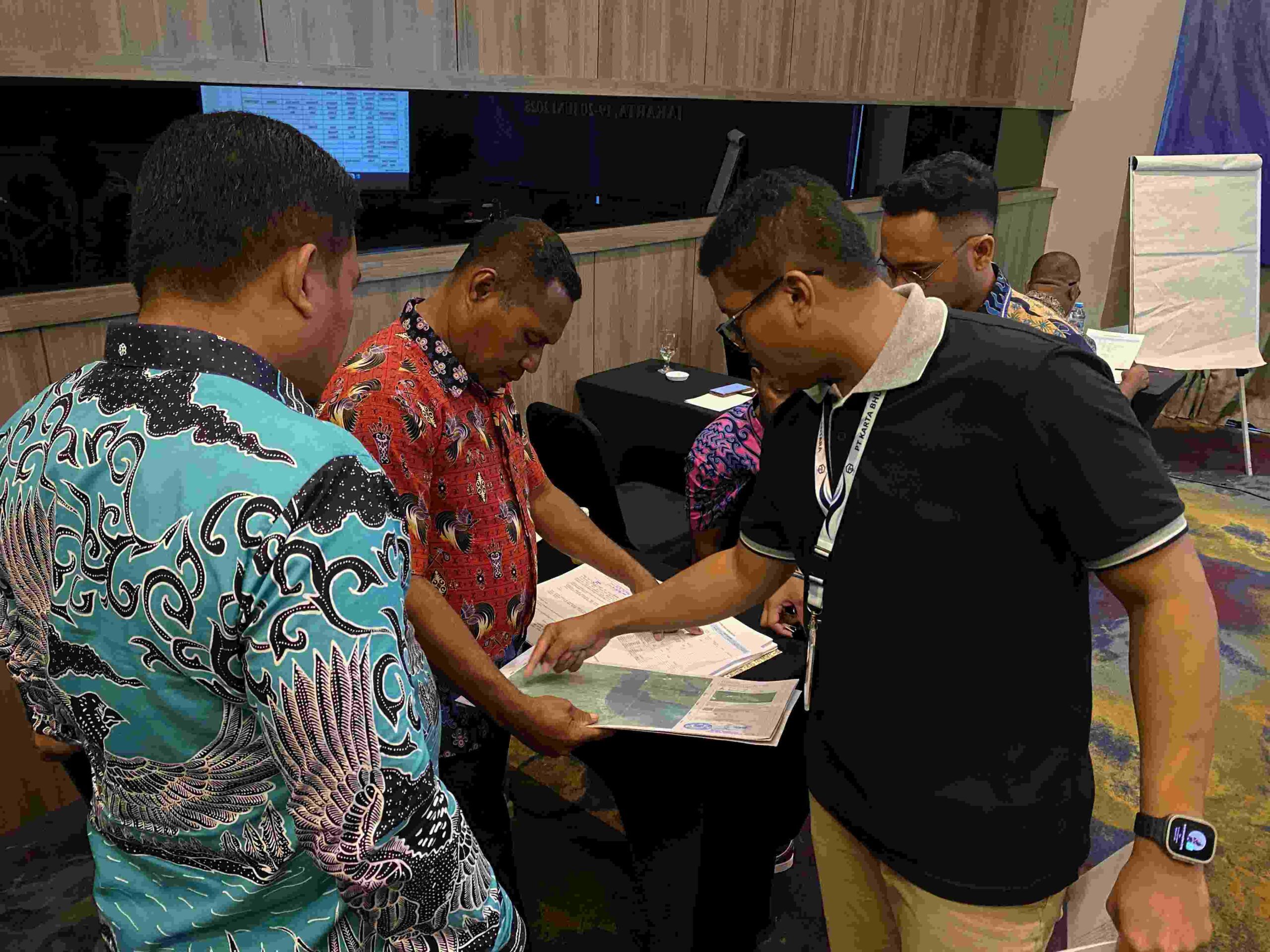
PT Karta Bhumi Nusantara (PT KBN) successfully implemented a strategic project to determine and confirm village boundaries (PPBW) covering 24 districts throughout the Raja Ampat Regency. This large-scale project involved determining and confirming the boundaries of 117 villages and 4 sub-districts, prioritizing a collaborative approach and data accuracy.
Project Name
Determination & Confirmation Territorial Boundaries of the Raja Ampat Regional Government
Category
Geospasial,GIS,Planning
Project Summery
PT Karta Bhumi Nusantara (PT KBN) carried out the Village Boundary Delineation and Demarcation (PPBW) project across 24 districts in Raja Ampat Regency, covering 117 villages and 4 urban wards (kelurahan). The process involved the collection of historical boundary data and boundary delineation for each village, conducted in close coordination with district heads and village leaders.
Boundary map verification was carried out with the support of the Geospatial Information Agency / Badan Informasi Geospasial (BIG)
Boundary map verification was carried out with the support of the Geospatial Information Agency / Badan Informasi Geospasial (BIG) to ensure compliance with national technical specifications and applicable regulations.
The Importance and the purpose
Village boundary mapping is essential to ensure that no administrative areas overlap or fall outside any village jurisdiction
Village boundary maps are legally required for every village in Indonesia under national regulations. In addition, these maps are a mandatory prerequisite for:
-Regional expansion proposals
-Preparation of Detailed Spatial Plans (RDTR)
-Land administration and development planning
-Resolution of administrative and territorial disputes
Historical Data Collection & goverment outreach
The local government collected historical boundary data supported by legal documents as the foundation for boundary tracing and confirmation. These historical records became the primary reference in the preparation of village boundary maps.To strengthen institutional understanding, BIG conducted boundary mapping socialization activities for local governments, emphasizing the importance and urgency of standardized village boundary maps.
Cartometric Boundary Delineation
Cartometric boundary delineation was carried out by the KBN team based on stakeholder testimony and verified historical data. The process utilized high-resolution satellite imagery, applying cartometric digitization techniques to accurately trace village boundaries.
Data Standardization & Validation
The digitized boundary data were standardized in accordance with village mapping regulations.Spatial data processing was conducted using GIS software, followed by data confirmation with respective village governments and neighboring districts. Topology checks were applied to ensure spatial accuracy and consistency.
Technical Verification by BIG
Technical verification by BIG was conducted to ensure the village boundary maps met all national technical standards. Any identified issues were corrected by the KBN team until the maps were officially declared compliant. To date, 39 villages and 4 urban wards have successfully passed BIG’s technical verification.
The Next STep
Village boundary maps that passed technical verification were then compiled into a Regent Decree Map as an attachment to the Regent Regulation. KBN prepared the official documentation (minutes of agreement), which was subsequently endorsed by village and district officials before proceeding to final verification by the Ministry of Home Affairs.
Our commitment is to provide spatial accuracy for the resolution of land disputes and better development planning
Volumetric Analysis: Calculating stockpile volumes and land changes with high precision.