Project Details
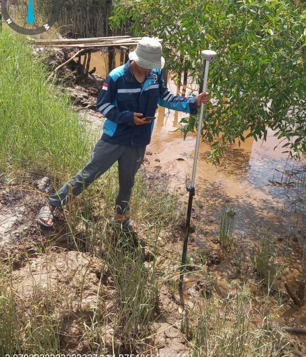
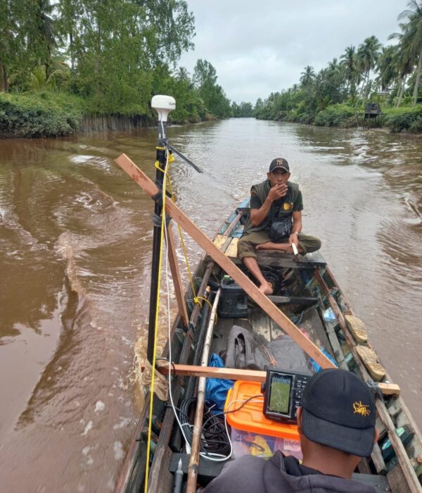
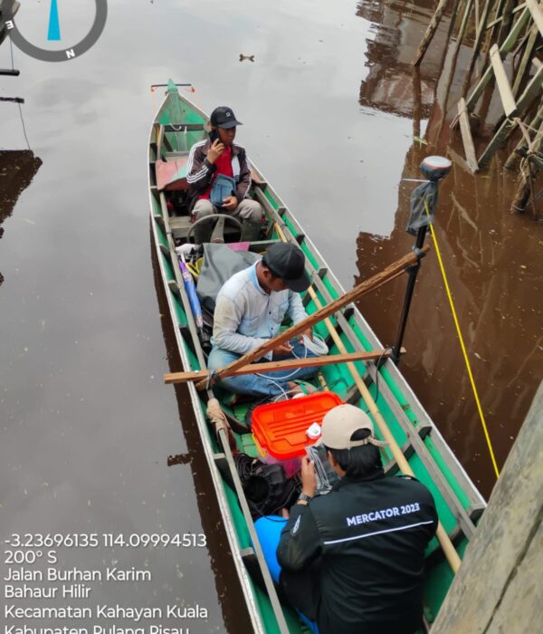
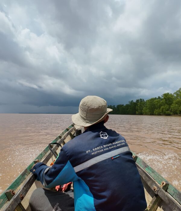
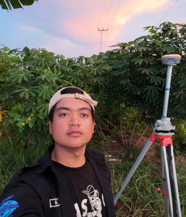
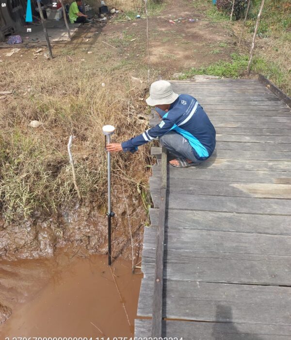
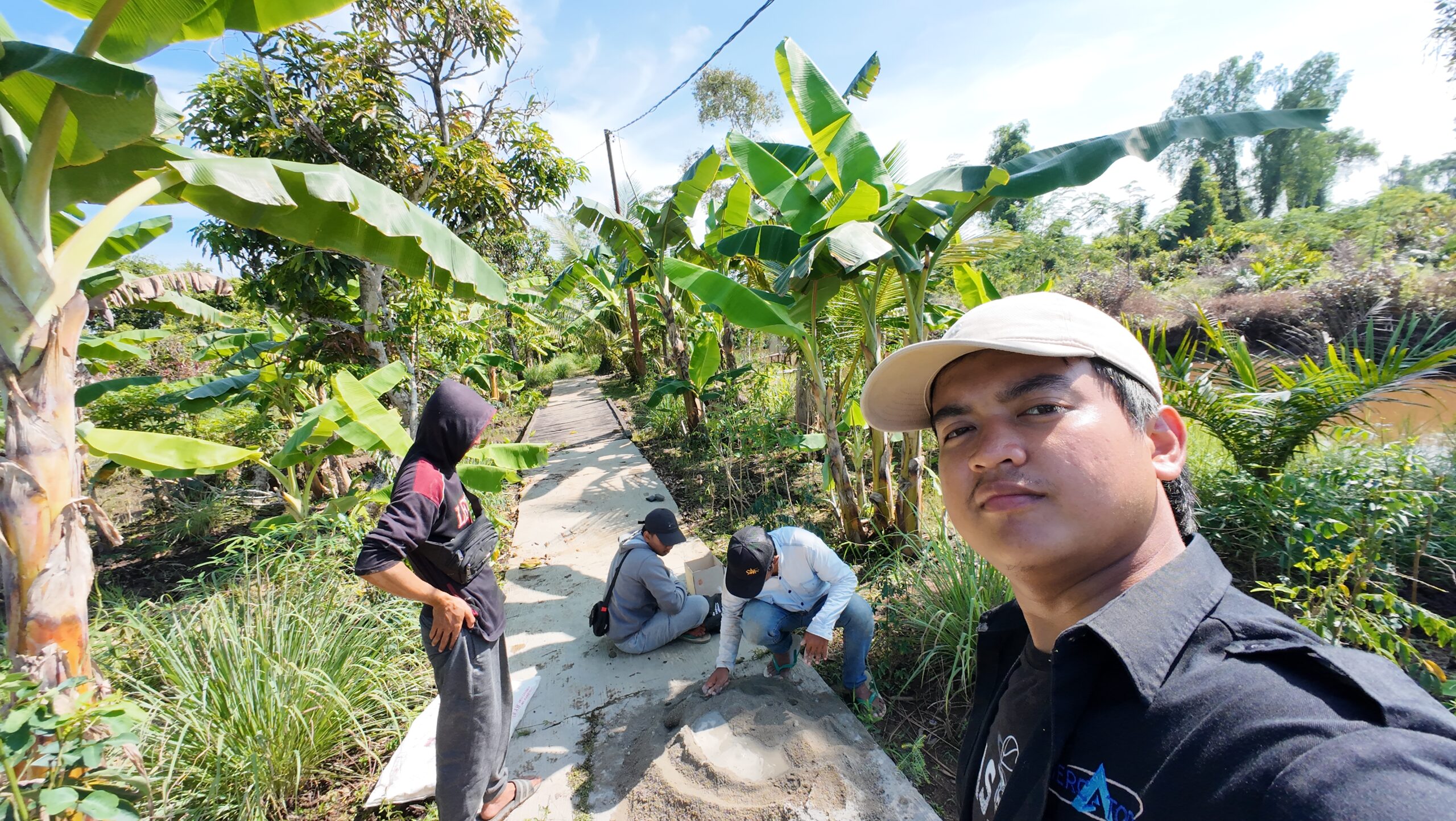
Integrated Topographic & Bathymetric Survey by PT Karta Bhumi Nusantara for DIR Kuin & DIR Bahaur, Palangkaraya (±5,000 ha)—combining GNSS control, UAV photogrammetry, and SBES bathymetry to deliver high-resolution orthophotos, DTM, contours, and cross-sections for irrigation planning and rehabilitation.
Project Name
Topographic & Bathymetric Survey for Tidal Swamp Irrigation Areas (DIR Kuin & DIR Bahaur) – Palangkaraya, Central Kalimantan
Category
Hidrografi,Planning
Project Summery
Managing tidal swamp irrigation is never straightforward. Water levels fluctuate with the tides, access can be limited by shallow water and dense vegetation, and soft ground conditions often make conventional land-only surveying inefficient. To support better planning and rehabilitation of irrigation networks, PT Karta Bhumi Nusantara carried out an integrated topographic and bathymetric survey across DIR Kuin and DIR Bahaur in Palangkaraya, Central Kalimantan—covering approximately ±5,000 hectares.
This project delivered accurate, high-resolution spatial data to help stakeholders evaluate existing conditions, analyze channel capacity, identify sedimentation patterns, and plan improvement works with confidence.
Project Objectives
The primary goal of this survey was to obtain reliable existing-condition data for swamp irrigation canals and surrounding terrain by combining:
-RTK GNSS for land features (embankments, canal edges, structures, access points)
-SBES bathymetry to map canal depths and underwater morphology
-UAV photogrammetry to produce high-resolution orthophotos and terrain models
This integrated approach ensures both surface elevation and channel depth are captured comprehensively critical for swamp irrigation environments where much of the system is permanently inundated.
To ensure strong positional accuracy, the project began with establishing a geodetic control framework through Bench Marks (BM) and Control Points (CP) across both DIRs.
Control measurements were conducted using GNSS static differential observations for 1 hour per BM/CP, with one BM in each DIR directly tied to the nearest CORS station DIR Kuin to CORS CKTT and DIR Bahaur to CORS CBJM using a 7-hour session to strengthen network reliability. All coordinates were processed in the SRGI2013 reference system with EGM2008 vertical datum, and transformed to UTM Zone 49S (DIR Kuin) and UTM Zone 50S (DIR Bahaur) for engineering-ready mapping.
Field acquisition combined UAV photogrammetry, RTK GNSS detail measurements, and bathymetry for a complete “land-to-water” model. A DJI Mavic 3E was used to generate high-detail orthophotos and a Digital Terrain Model (DTM), while bathymetric data was collected using a USV equipped with a Garmin 585Plus Single Beam Echo Sounder (SBES), calibrated with barcheck and sensor draft measurements before acquisition.
The final deliverables include orthophotos (~7–10 cm/pixel detail), an integrated DTM, a 1:1,000 contour situation map with 0.5 m contour interval, and long & cross sections every 50 meters, along with raw datasets, a BM/CP description book, and the final technical report—a complete foundation for precise analysis, design, and future monitoring in tidal swamp irrigation systems.
Ready to move from assumptions to accurate, actionable data?
PT Karta Bhumi Nusantara is prepared to support your irrigation, water management, and infrastructure projects with reliable topographic and bathymetric surveying delivered with clear outputs and engineering-ready references.
Let’s collaborate. Contact us to discuss your survey needs and get the right data from the start.
#TopographicSurvey #BathymetricSurvey #HydrographicSurvey #SwampIrrigation #IrrigationSurvey #WaterResources #Geospatial #SurveyingAndMapping #UAVMapping #DroneMapping #Photogrammetry #GNSS #RTK #PPK #DTM #Orthophoto #EngineeringSurvey #InfrastructureMapping #CentralKalimantan #Palangkaraya #jasasurveipemetaan #JasaSureiPemetaan #JasaSurveiIndonesia #Kartabhuminusantara
Volumetric Analysis: Calculating stockpile volumes and land changes with high precision.