Bathymetric Survey for the Cikampek–Plumpang Fuel Pipeline Crossings in West Java

Project Details

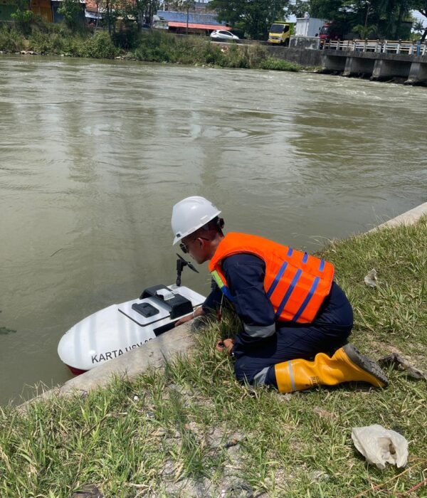
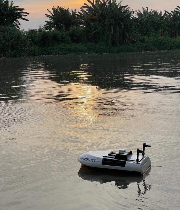
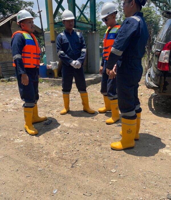
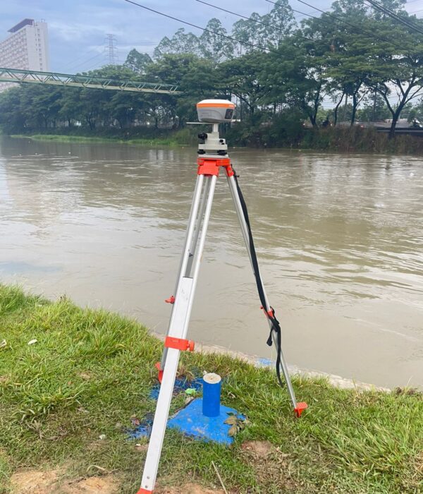
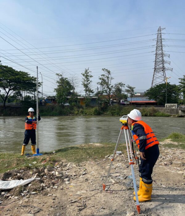
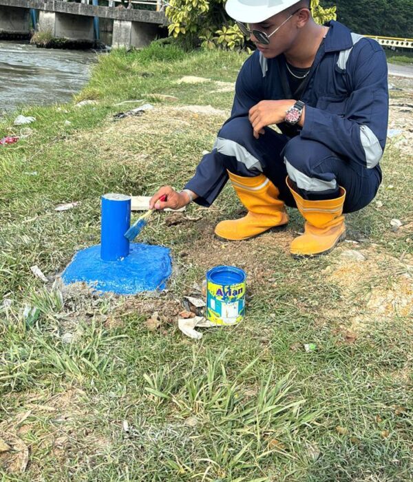
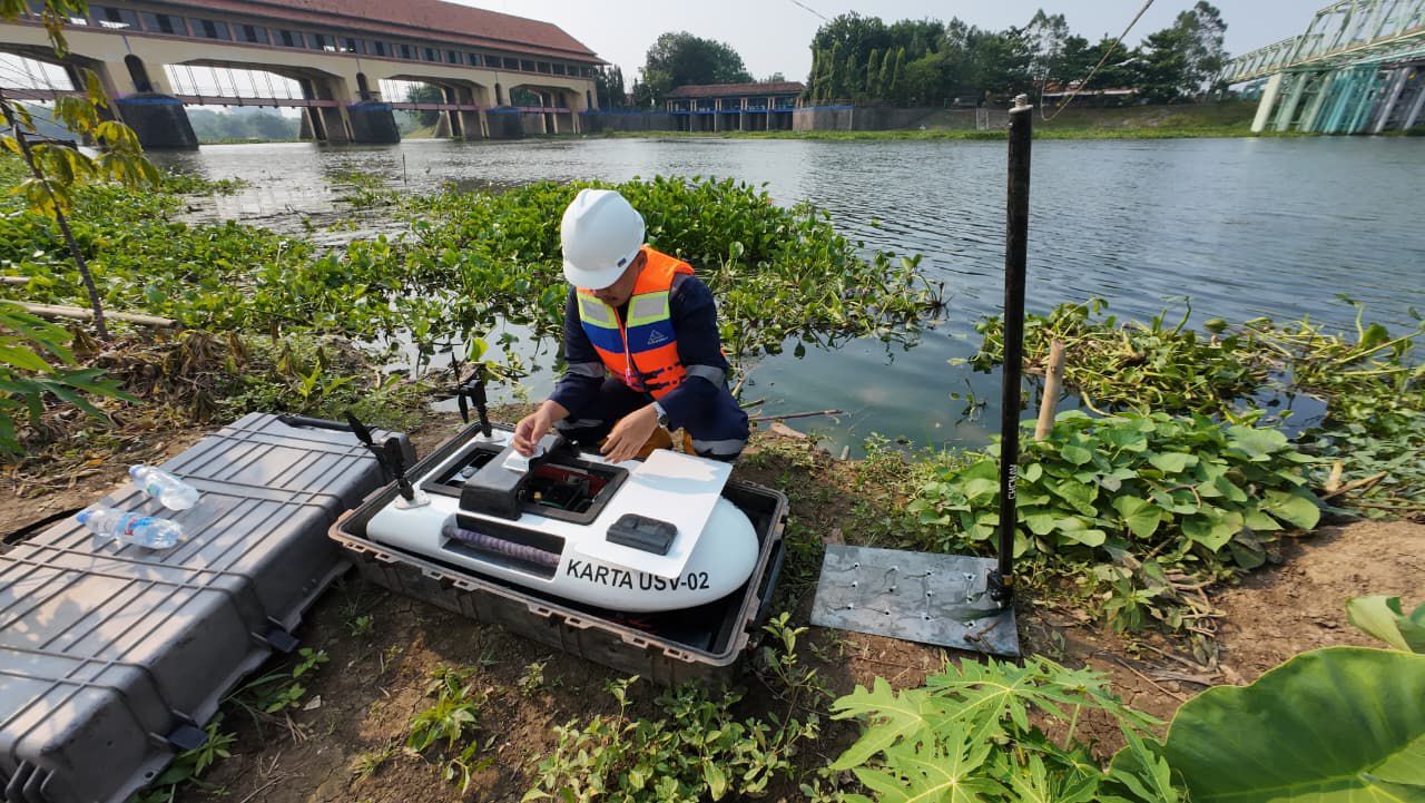
Discover what lies beneath the water surface. Karta Bhumi conducted a bathymetric survey for the Cikampek–Plumpang BBM pipeline crossings in West Java, using GNSS control, RTK mapping, and a USV-equipped single beam echosounder to deliver accurate DTM, contours, and cross-sections for engineering-ready planning.

Project Name
Bathymetric Survey for the Cikampek–Plumpang Fuel Pipeline Crossings in West Java
Category
Hidrografi,Planning

Project Summery

When a pipeline route meets a river or a canal, the real story isn’t only on land—it’s under the water surface.
For the Cikampek–Plumpang BBM (fuel) pipeline corridor in West Java, Karta Bhumi carried out a bathymetric survey to capture what can’t be seen by the naked eye: the underwater terrain (riverbed/canal bed), depth variations, and channel geometry at key crossing points. This underwater “map” becomes a practical foundation for safer, smarter, and more efficient engineering design.
Survey Coverage
This work focused on four key waterway crossings in West Java:
-KP 11+200 – Walahar River
-KP 41+500 – West Tarum Main Canal (Saluran Induk Tarum Barat)
-KP 71+100 – CBL Canal (Cikarang Bekasi Laut)
-KP 81+400 – East Flood Canal (Banjir Kanal Timur / BKT) 
How We Collected the Data
To keep the results accurate and engineering-ready, the survey combined:
-Static GNSS control points for a strong reference system (UTM 48S / SRGI 2013 / EGM2008)
-RTK GNSS topography to map canal/river banks and nearby features
-USV + Single Beam Echo Sounder (SBES) to measure depths efficiently and safely, including calibration and corrections (barcheck, draft, and water level adjustment).
What We Delivered (Engineering-Ready Outputs)
Instead of just “depth numbers,” the survey outputs were prepared for practical design use:
-DTM (Digital Terrain Model) combining topography + bathymetry
-Contour maps at 1:1,000 scale with 0.5 m contour interval
-Long section (longitudinal profile)
-Cross sections every 5 meters across the channel 
These deliverables help engineering teams visualize the crossing clearly—almost like “seeing” the riverbed without diving.
With accurate bathymetric data, pipeline crossing design becomes more than an assumption—it becomes a decision backed by real measurements. Karta Bhumi is ready to support your infrastructure and industrial projects with reliable GNSS, topographic, and bathymetric surveys, delivering outputs that are clear, engineering-ready, and easy to use.
Let’s collaborate. Contact us to discuss your survey needs and get the right data from the start.
#KartaBhumi #BathymetrySurvey #SurveiBatimetri #PipelineCrossing #BBMPipeline #USVSurvey #EchoSounder #SingleBeamEchosounder #RTKGNSS #GNSSSurvey #TopographicSurvey #Geospatial #Mapping #DTM #Surveying #CivilEngineering #Infrastructure #WestJava #JasaSureiPemetaan #JasaSurveiIndonesia
Volumetric Analysis: Calculating stockpile volumes and land changes with high precision.