3D Survey of the Makarti Muktitama Building – Jakarta

Project Details

PT Karta Bhumi Nusantara conducted a 3D survey of the Makarti Muktitama Building in Jakarta as part of its efforts to provide high-accuracy spatial data for facility management, planning, and infrastructure development. The survey aimed to provide a detailed 3D representation of the building to support asset documentation, renovation planning, and digital transformation in building management.

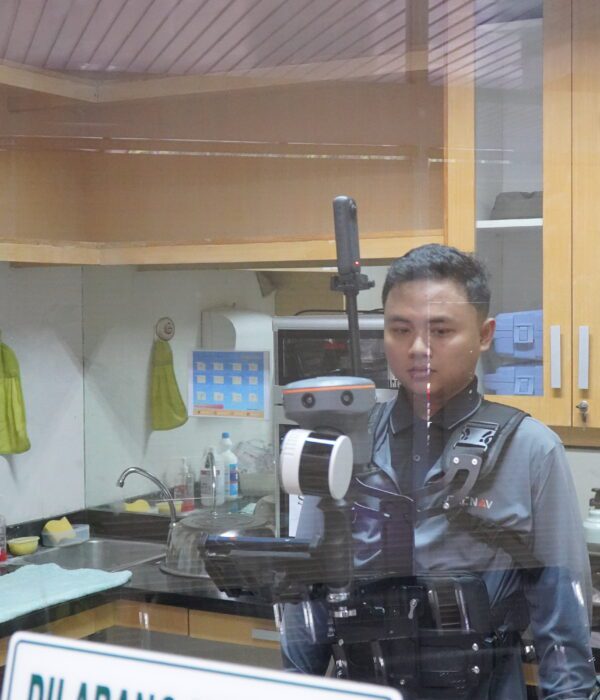
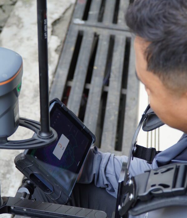
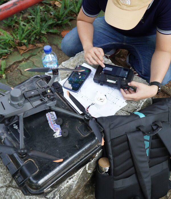
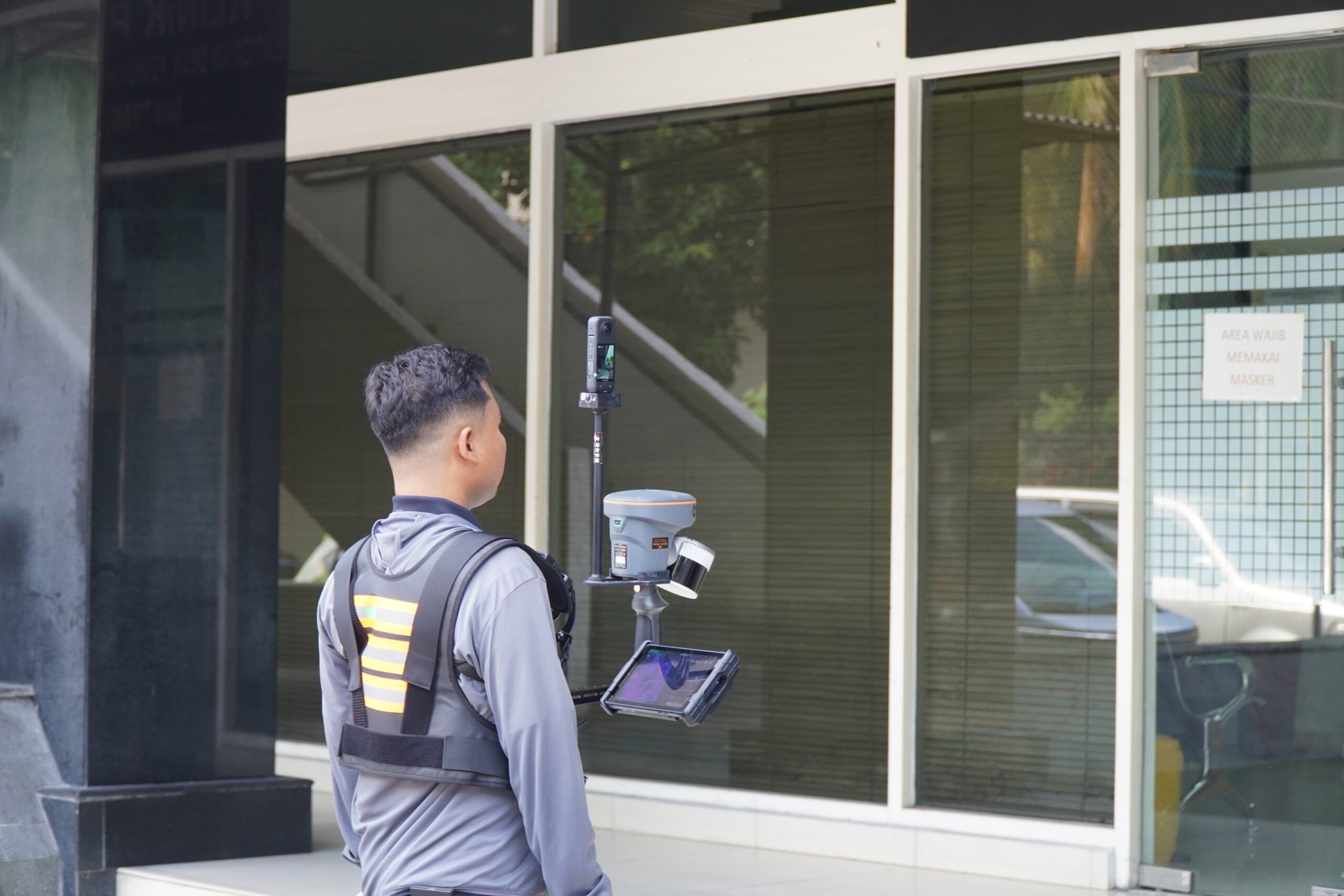
The survey utilized advanced 3D scanning technology and UAV photogrammetry, enabling the production of precise point clouds, 3D models, and digital twins. The results ensured accurate visualization and measurement of the building structure, supporting stakeholders in data-driven decision-making for efficient design, monitoring, and future development.

Project Name
3D Survey of the Makarti Muktitama Building – Jakarta
Category
Planning

Project Summery

📍 3D Survey of the Makarti Muktitama Building – Jakarta
3D surveys of buildings play a crucial role in recording existing conditions in detail and precision. All elements of the building, from the main structure to architectural details, are documented in the form of accurate three-dimensional models. This data serves as a crucial basis for renovations, technical audits, and long-term asset management.For this activity, the Karta Bhumi Nusantara team used the CHCNAV RS-10 SLAM 3D Laser Scan. Simultaneous Localization and Mapping (SLAM) technology enables GPS-free scanning, ideal for indoor areas or locations with signal obstructions. This process produces a high-resolution point cloud that represents the shape and size of each building element in detail.
The results are then processed into a 3D As-Built Model, which serves as an accurate reference for architects, engineers, and building managers. With this digital documentation, management and decision-making can be data-driven, making them more efficient, cost-effective, and targeted.
#KartaBhumiNusantara #CHCNAV #3DLaserScan #SLAMTechnology #AsBuiltModeling #Surveying #Geospatial #DigitalTwin #BIM #3DModeling #MakartiMuktitamaHall